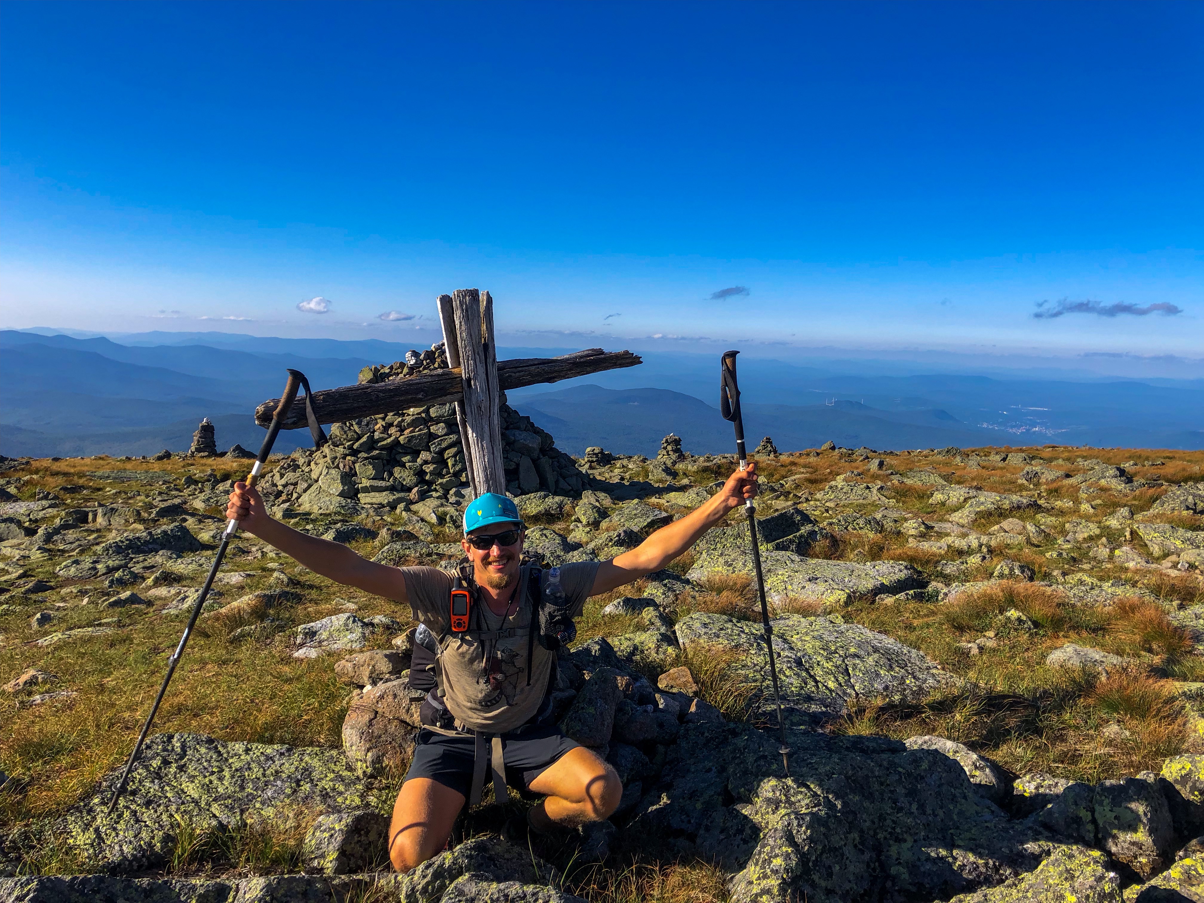
Glaskogens Naturreservat
As Fabian and I finished our canoeing trip we had three days left in Sweden before we had to head back to Germany. What should you do with three days of free time in a country with lovely landscapes and tons of lakes? …. of course go on a hiking trip! I did a short Google search about hiking trails around our location. The search wasn’t that successful. In Germany, Austria and Switzerland I mostly use OutdoorActive for searching for hiking trails. It’s very popular in these locations. Well, I found the perfect tour.
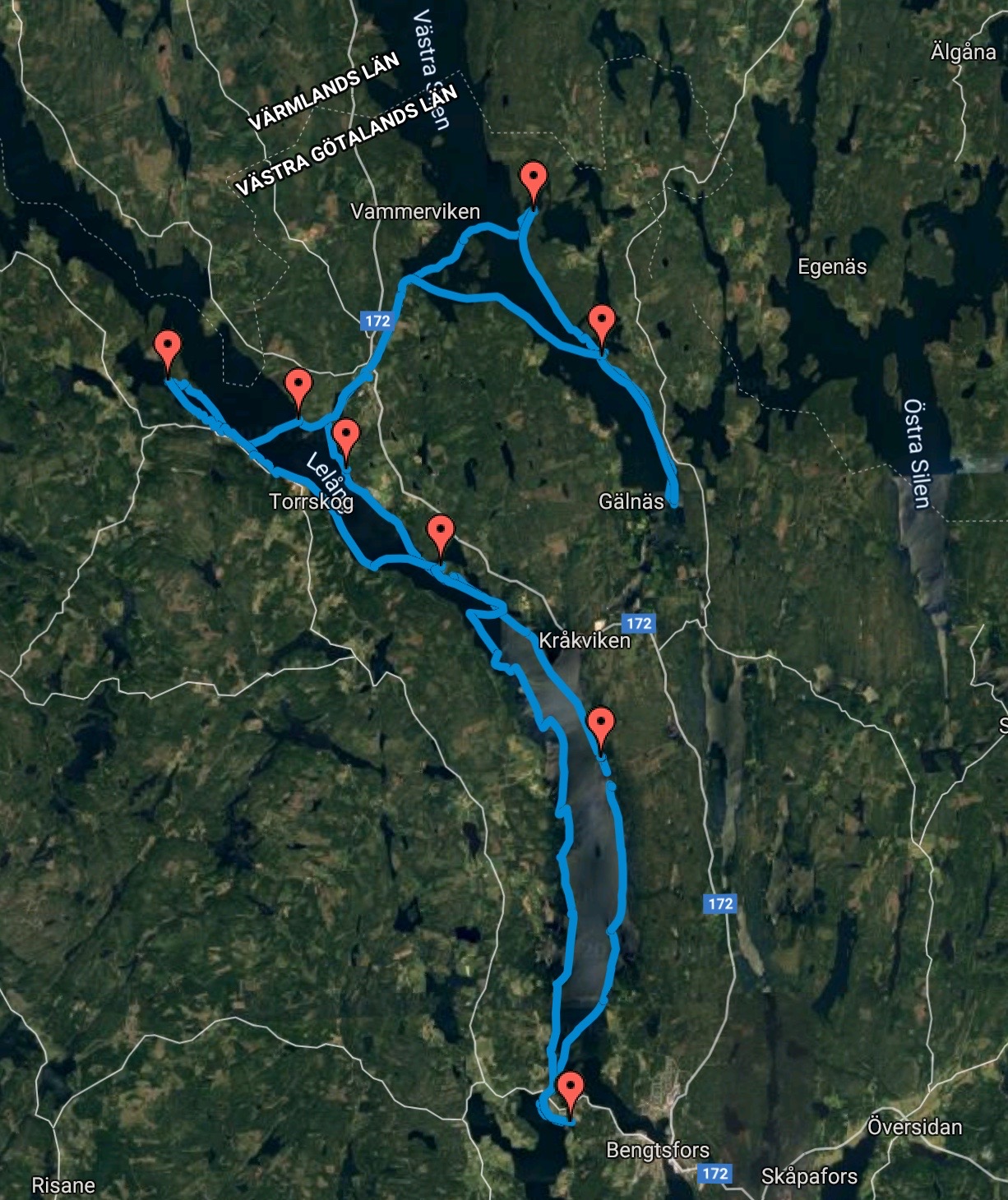
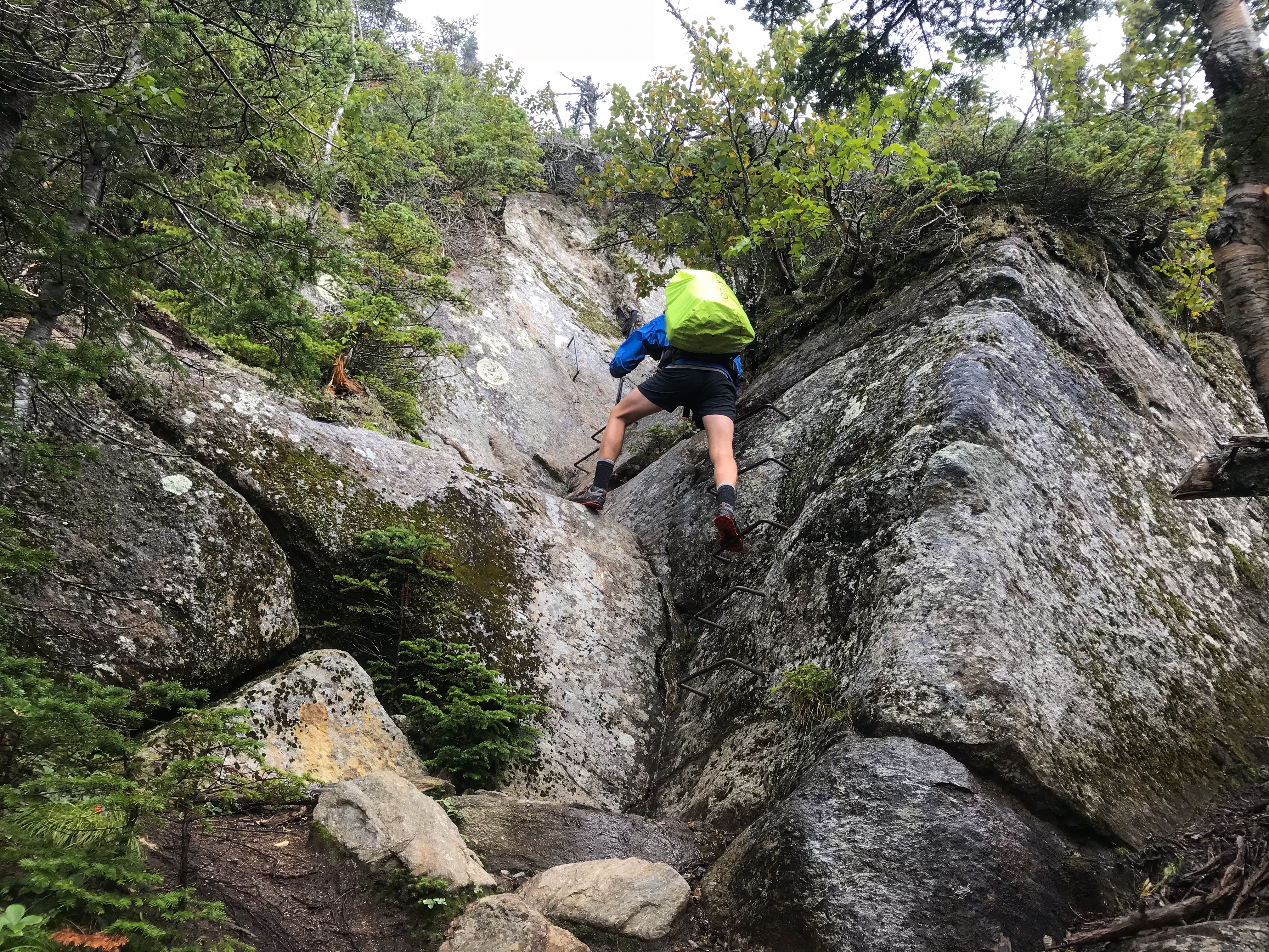
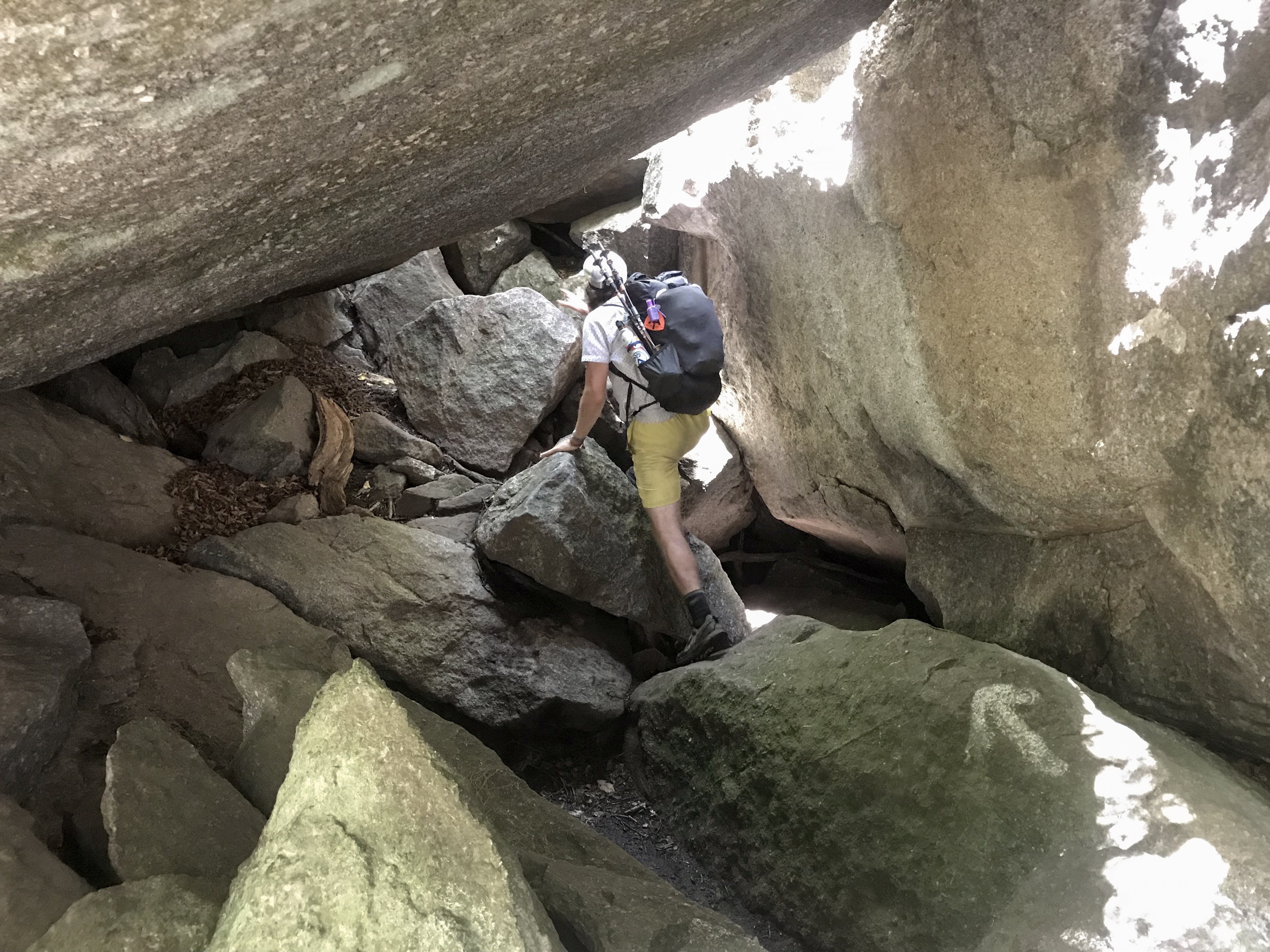
The tour is considered as a 3 day tour with a middle degree of difficulty and 41 km (26 miles).
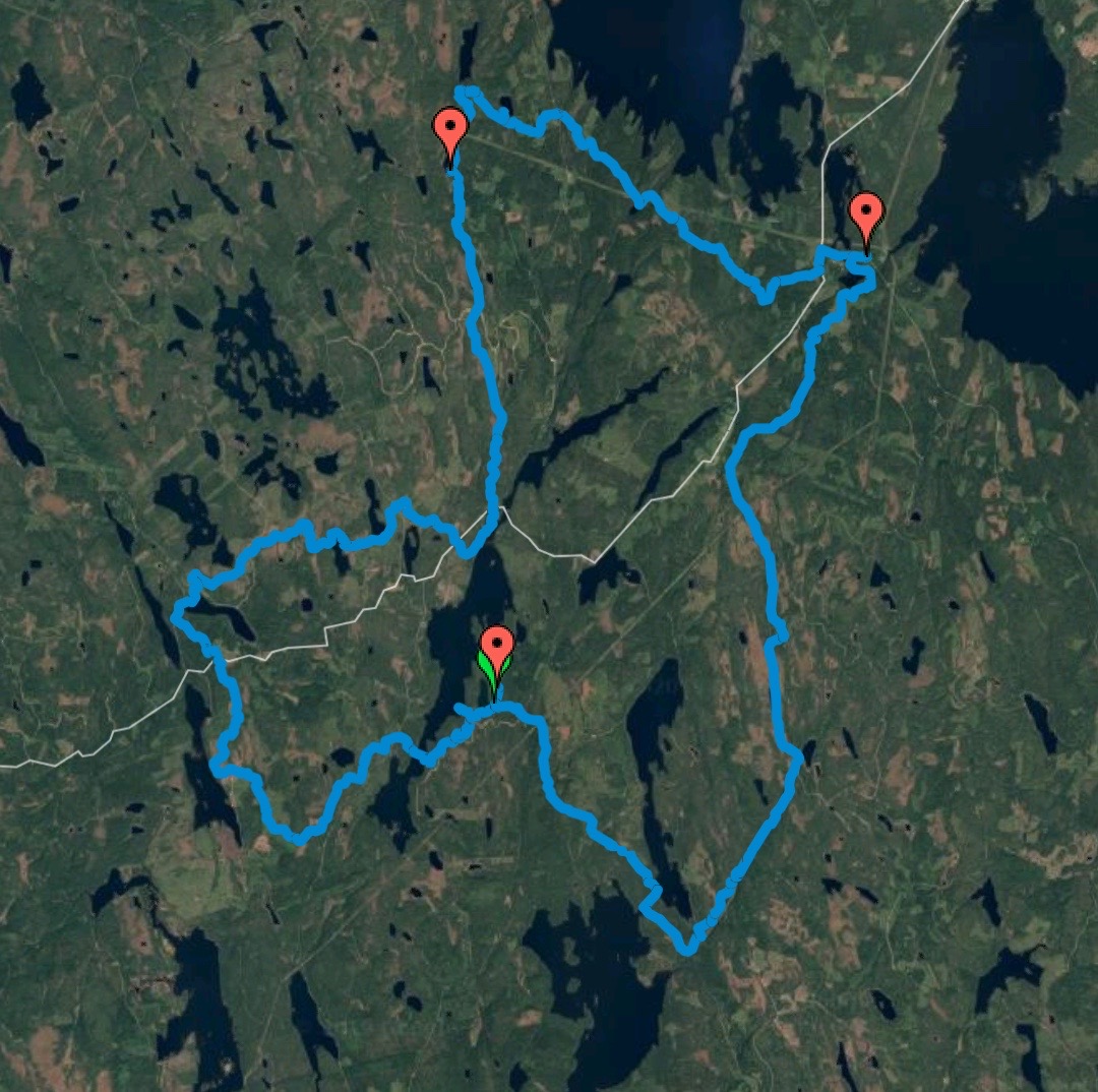
Our trip displayed on Google Maps
Day 1
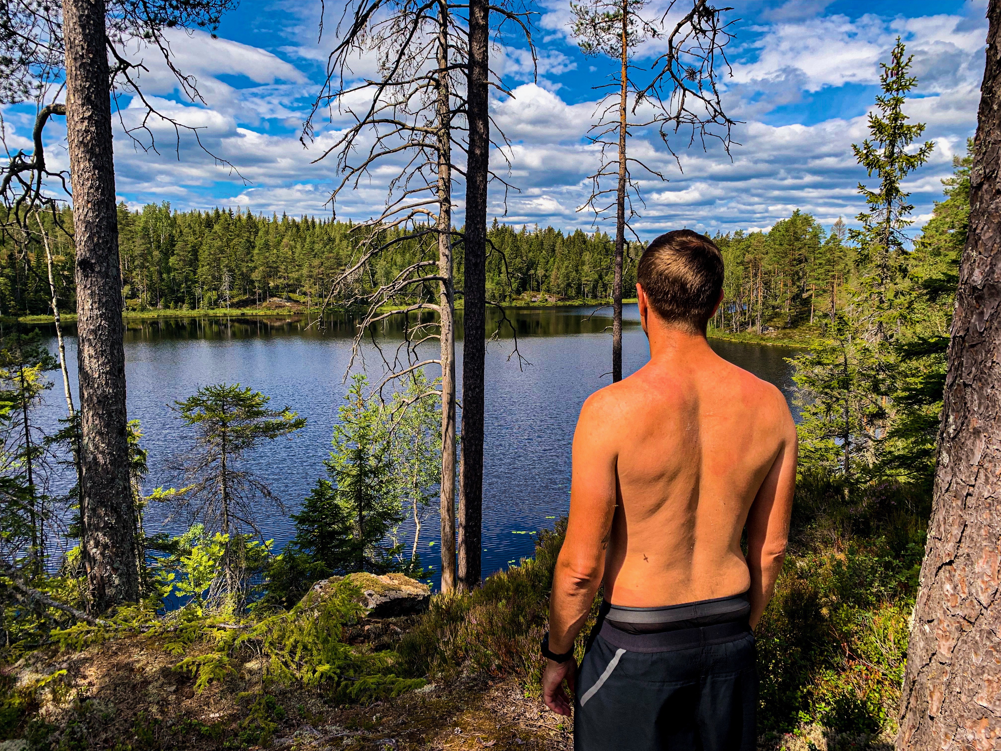
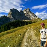
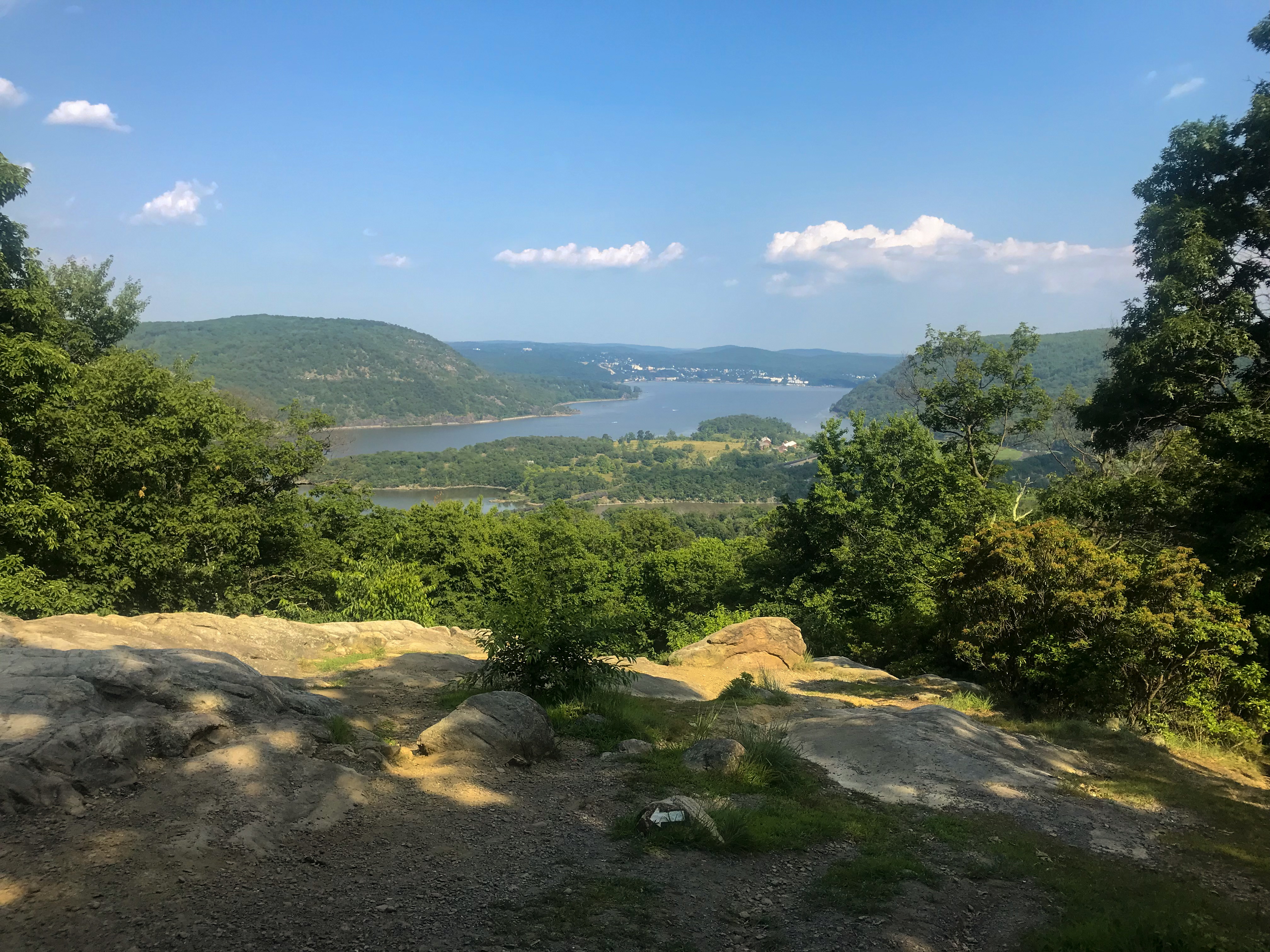
After a two hour drive to the Glaskogens naturreservat we parked our car at a local campsite. They offer free parking! Btw, by swedish standards it’s a very popular hiking area. If you’re an European it feels like there is almost nobody around! Besides the first and the last mile, where the trail meets the day hike trails, we only met one single person on the trail.
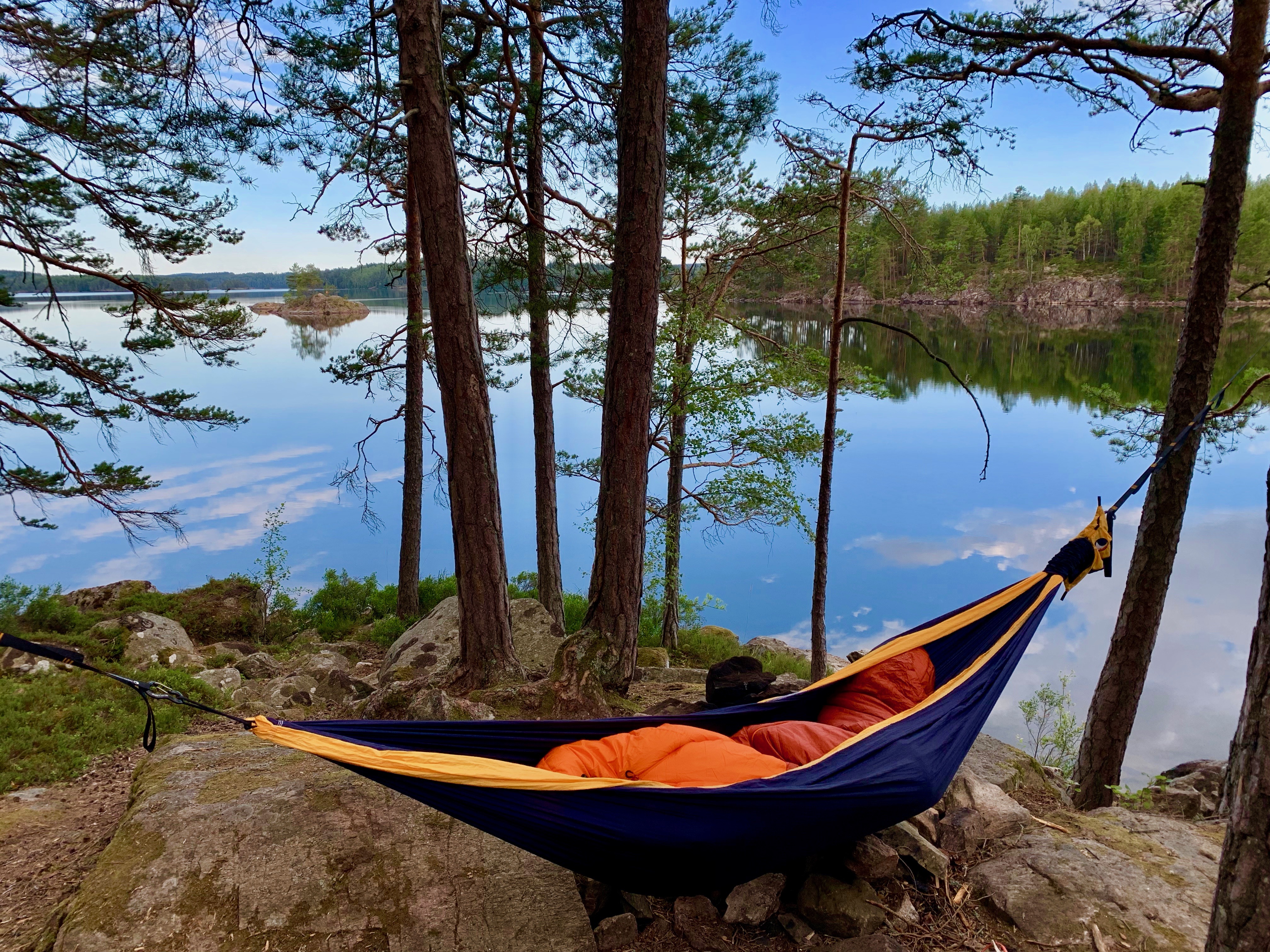
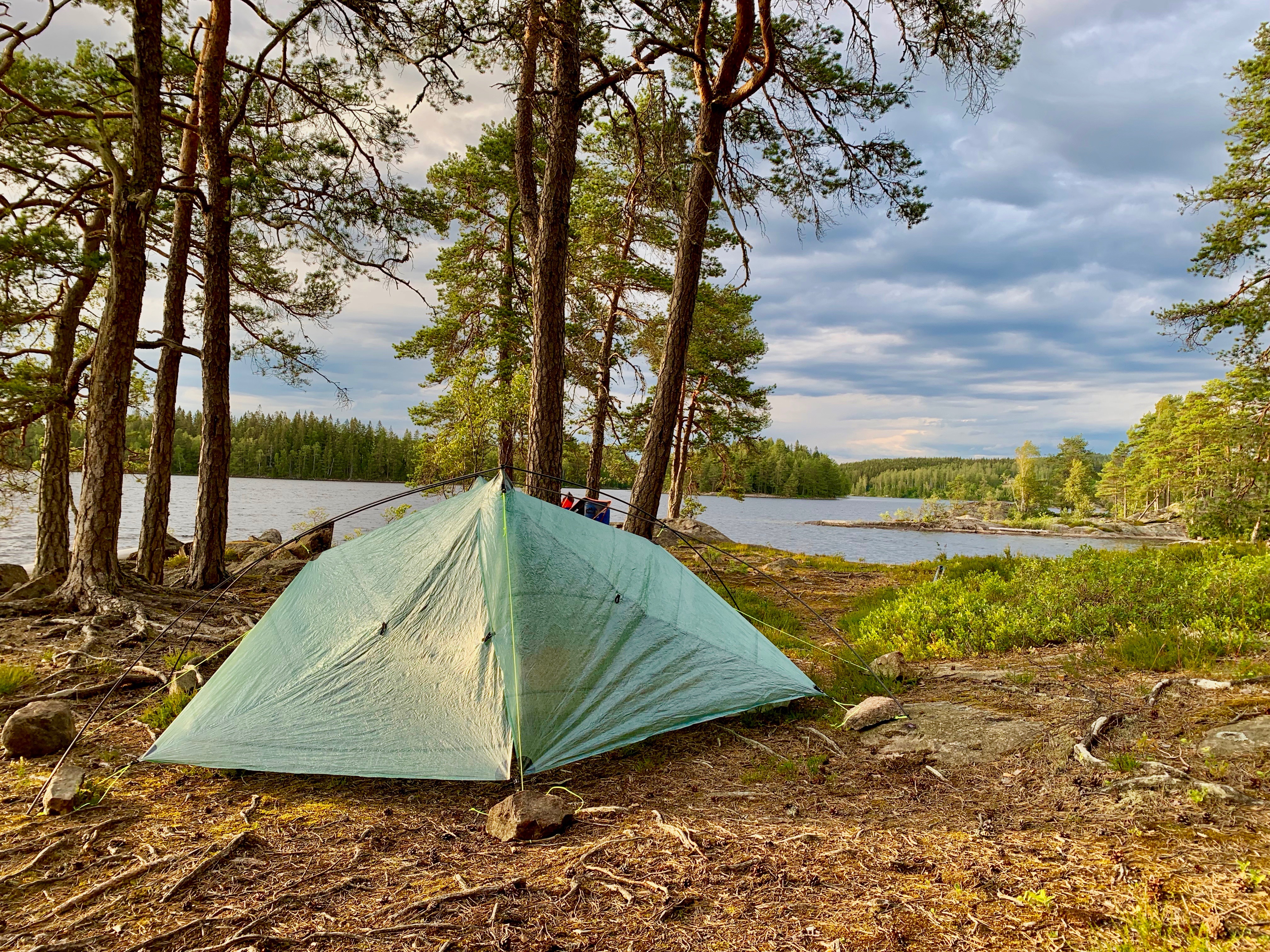
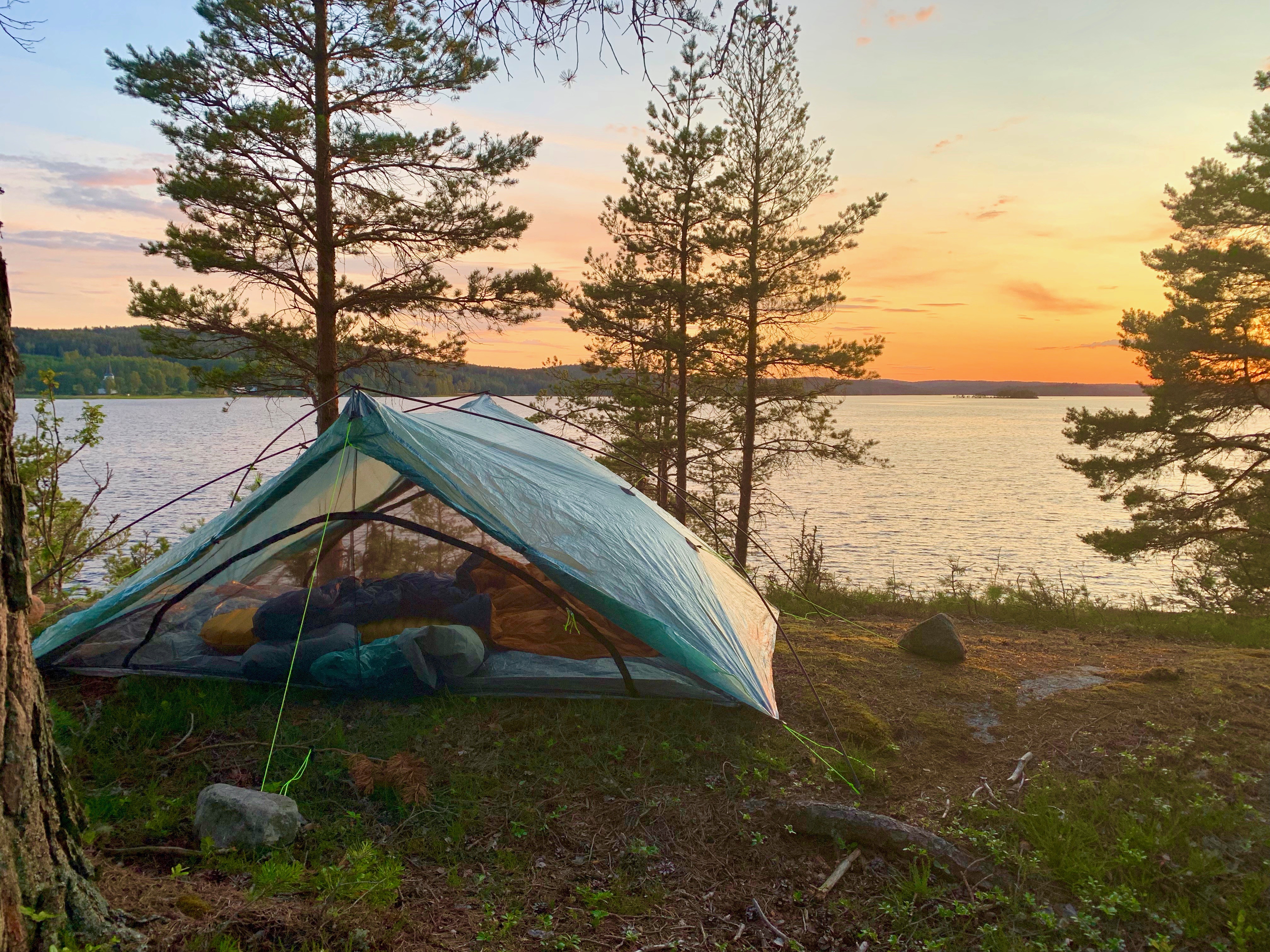
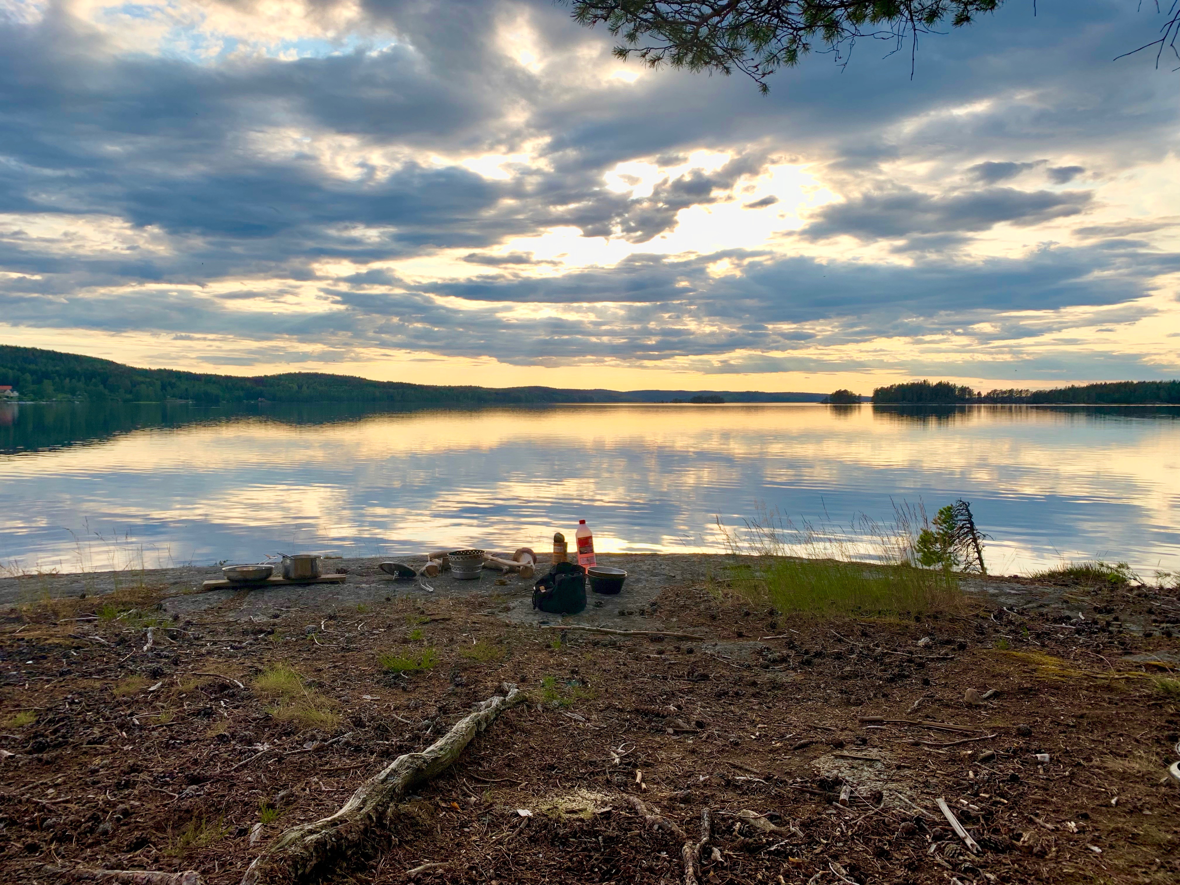
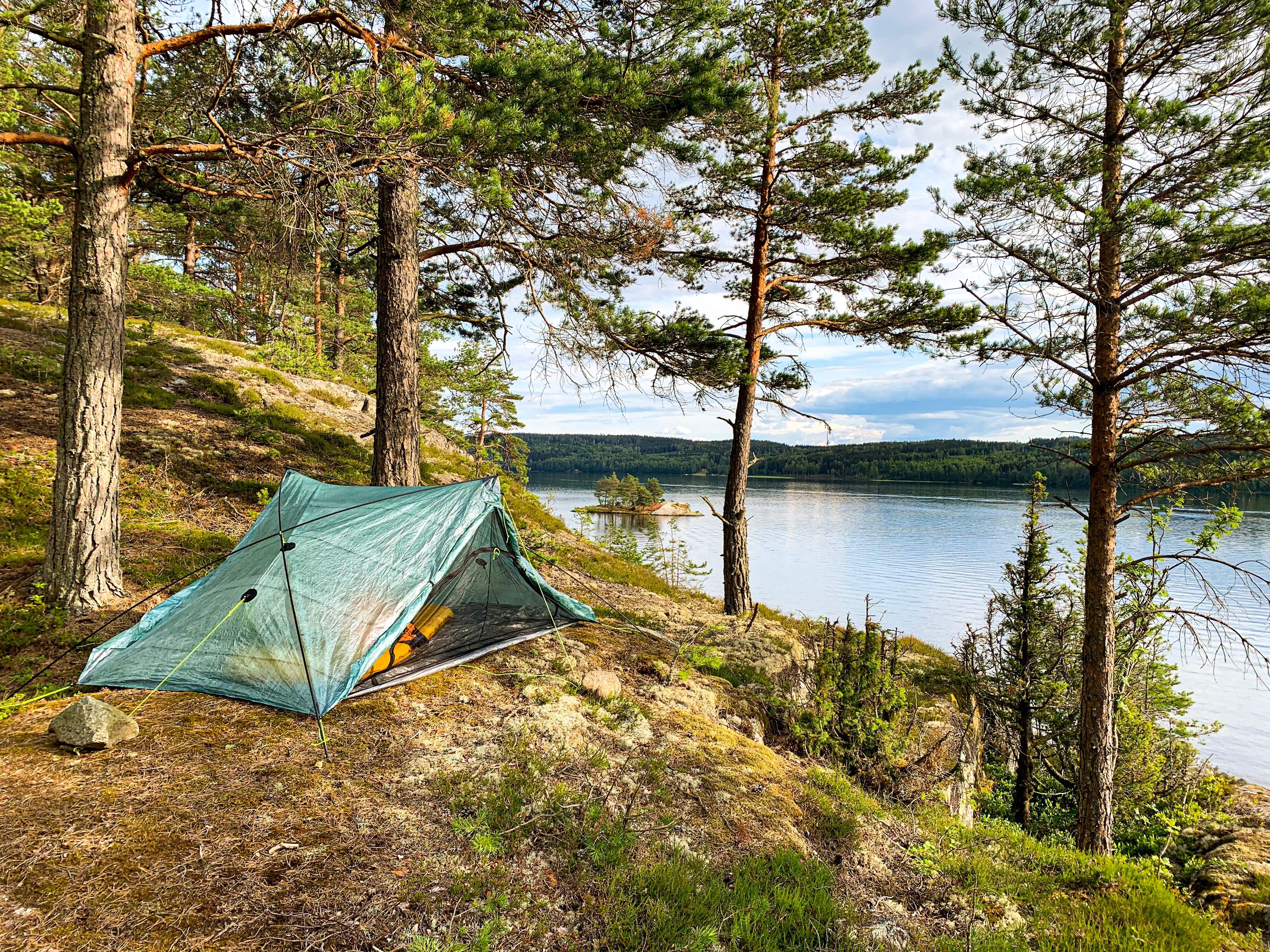
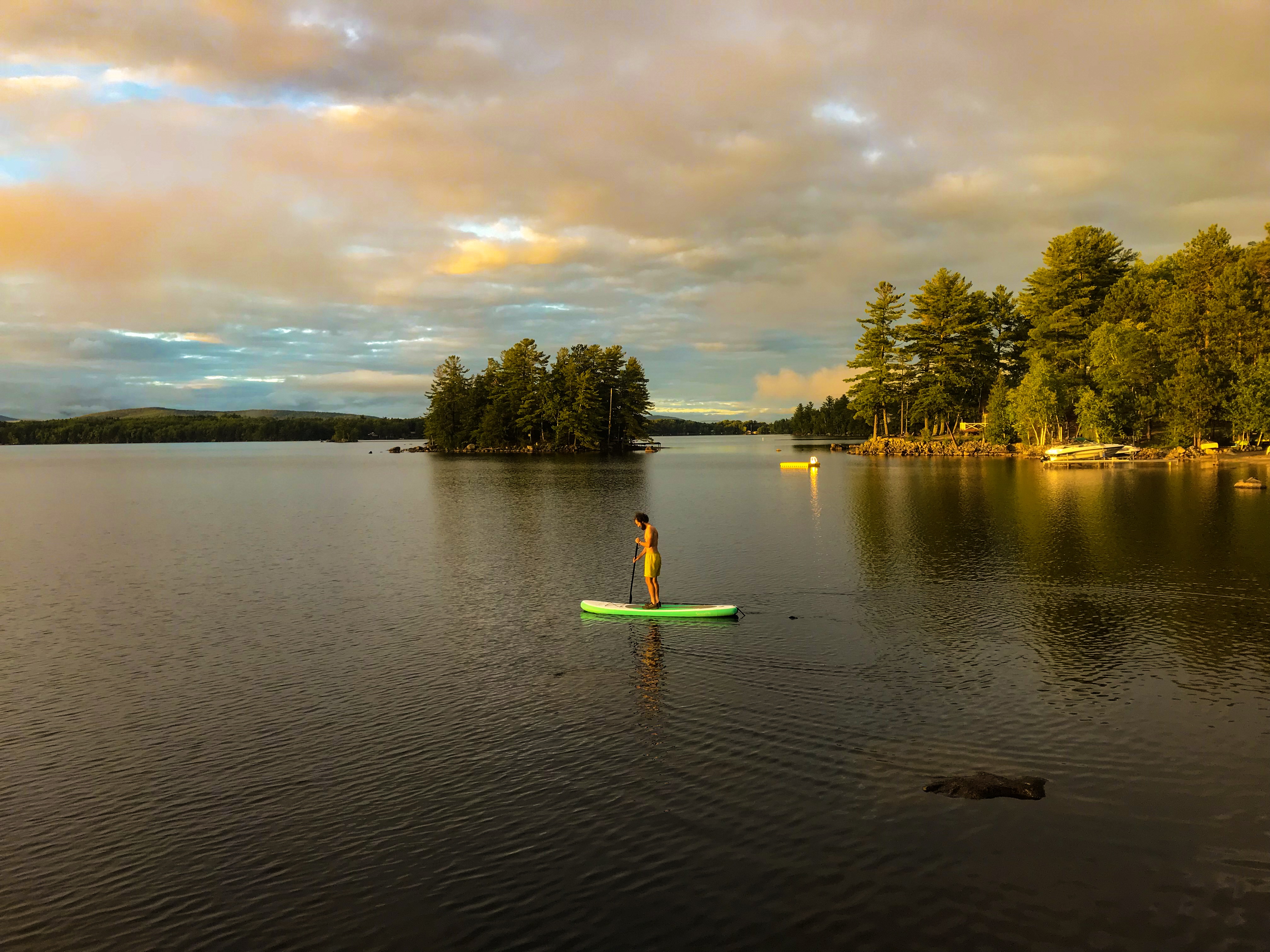
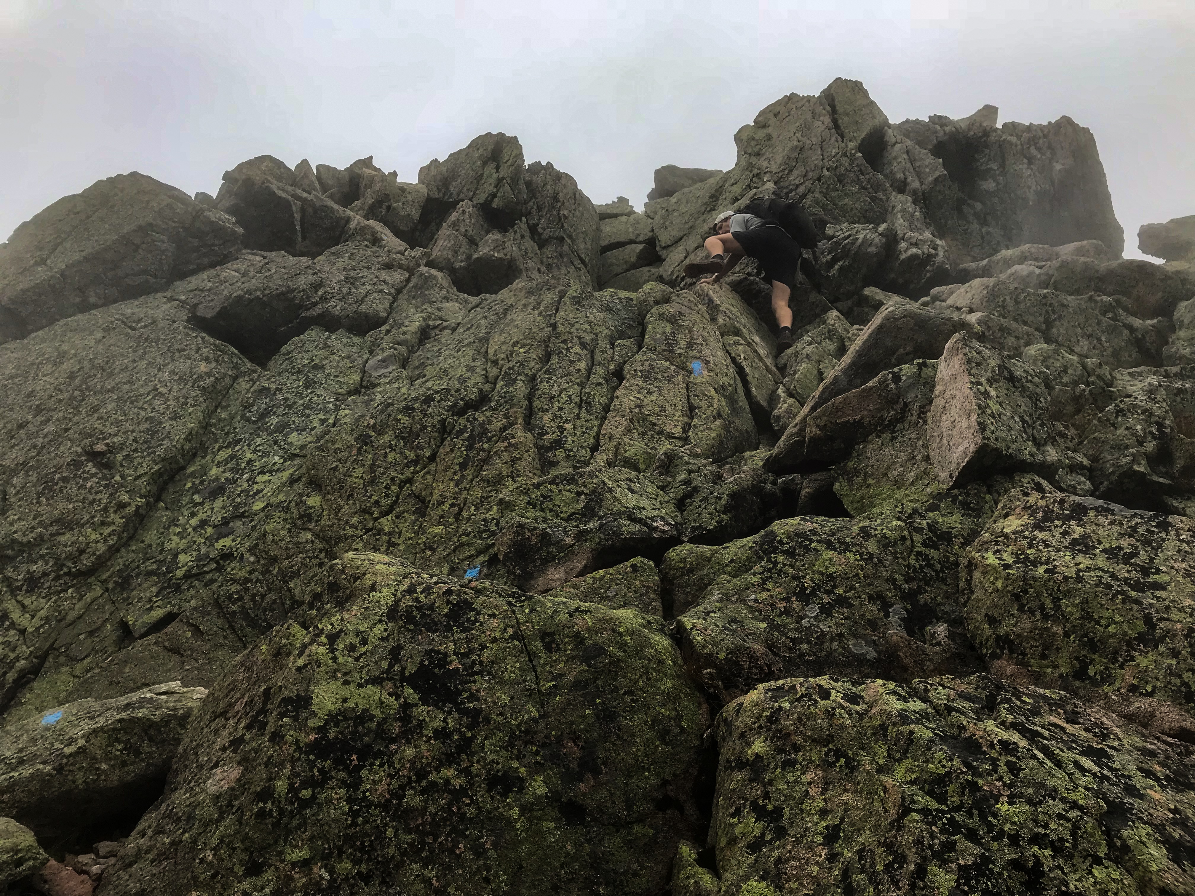
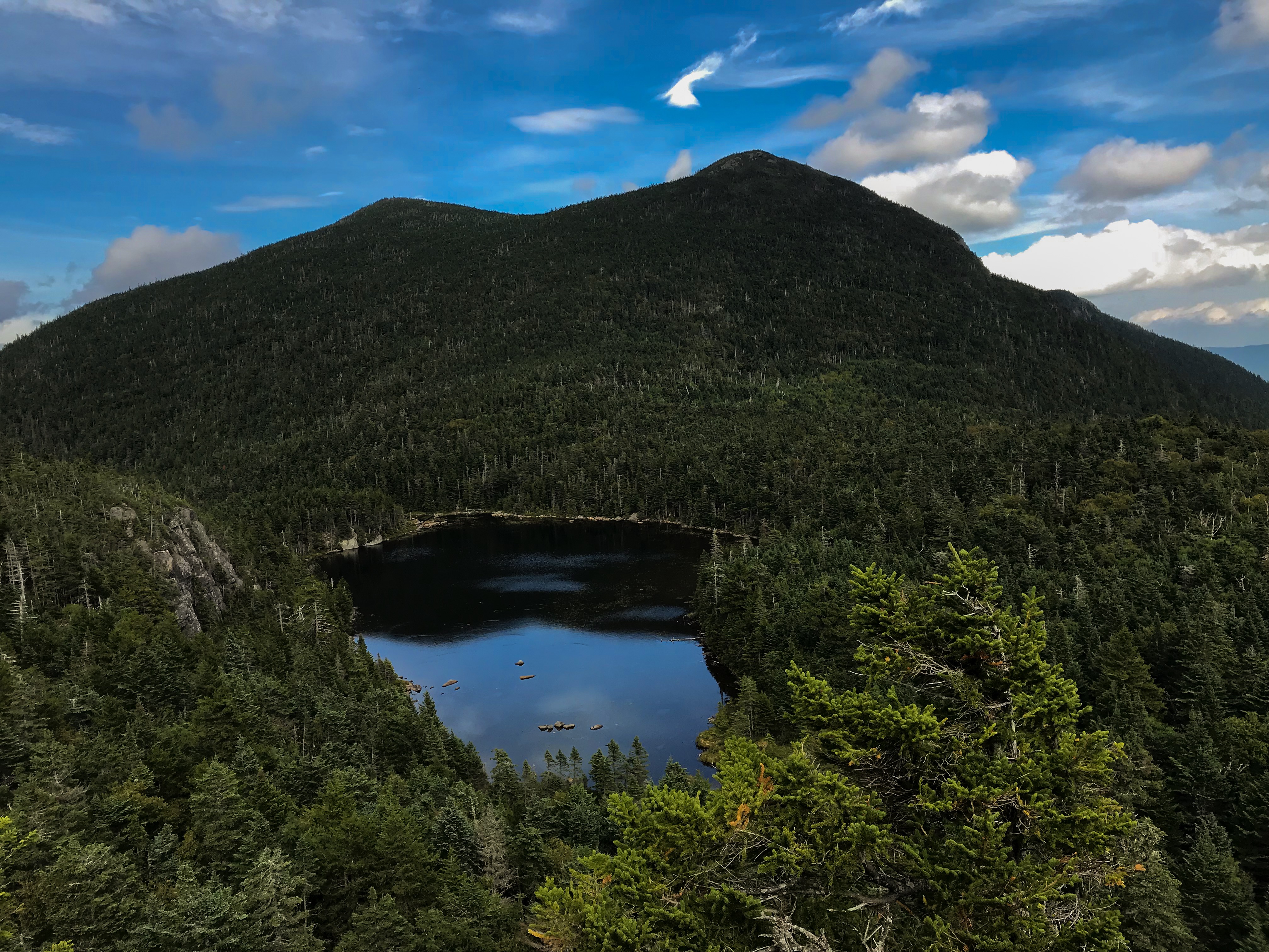
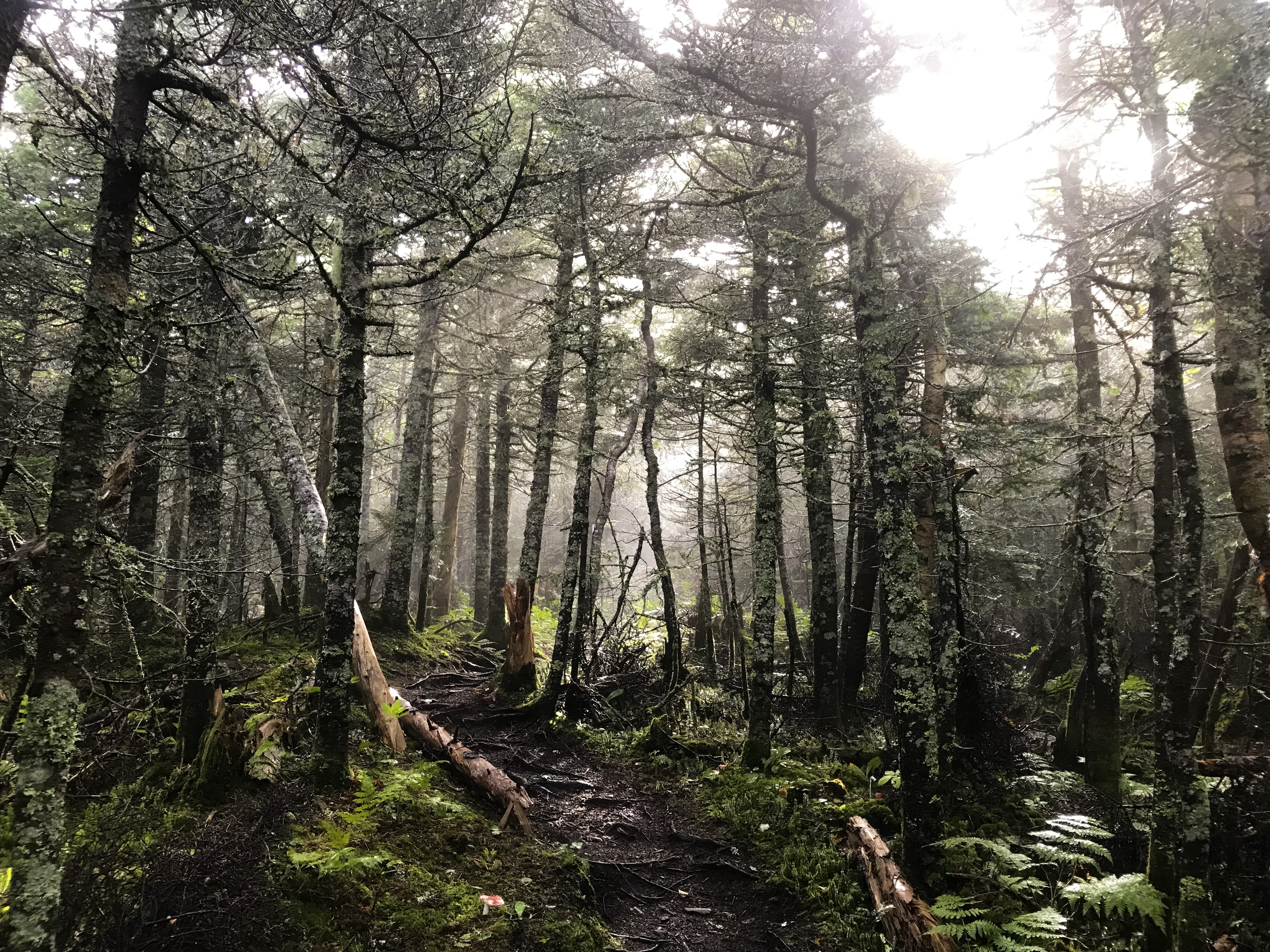
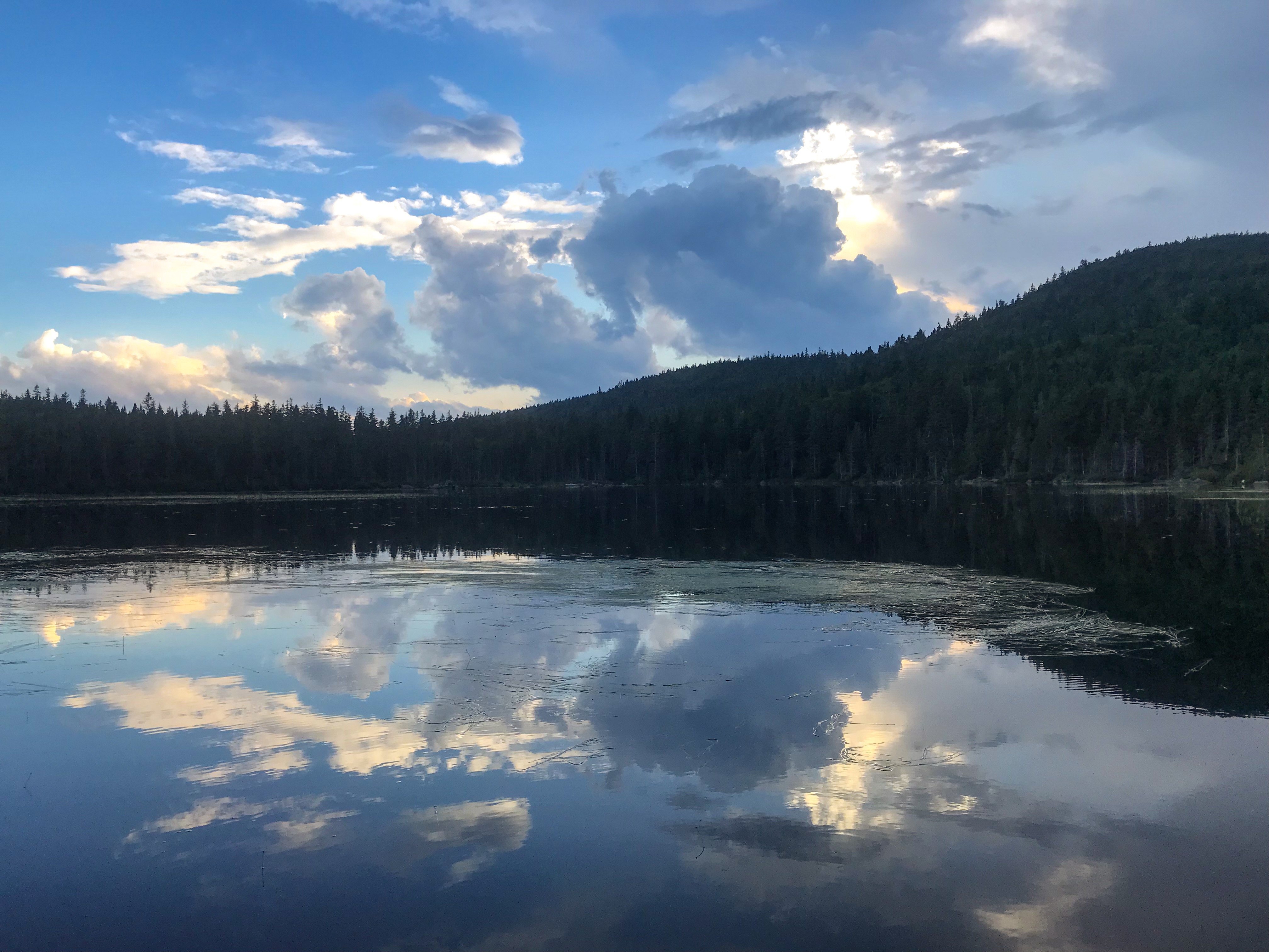
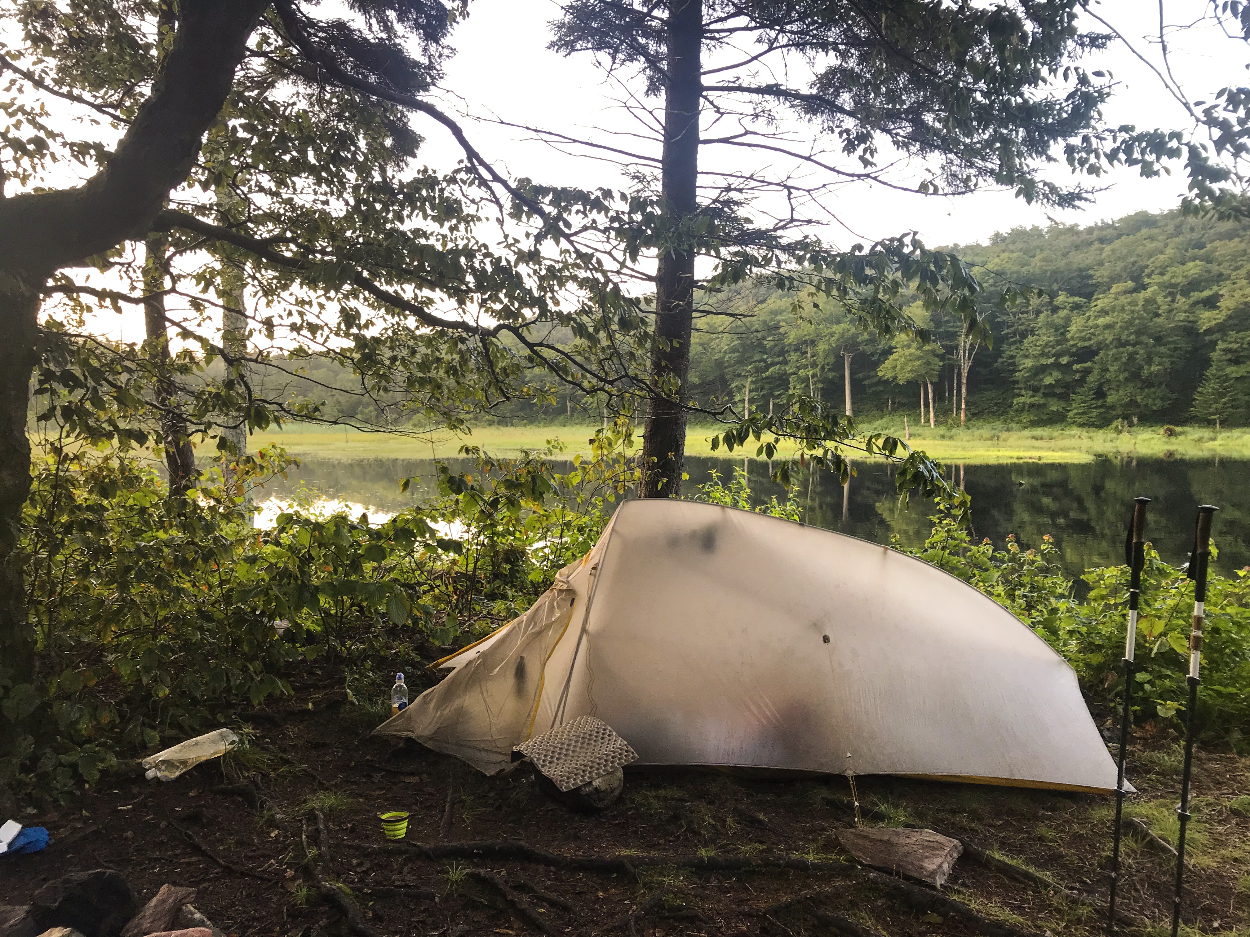
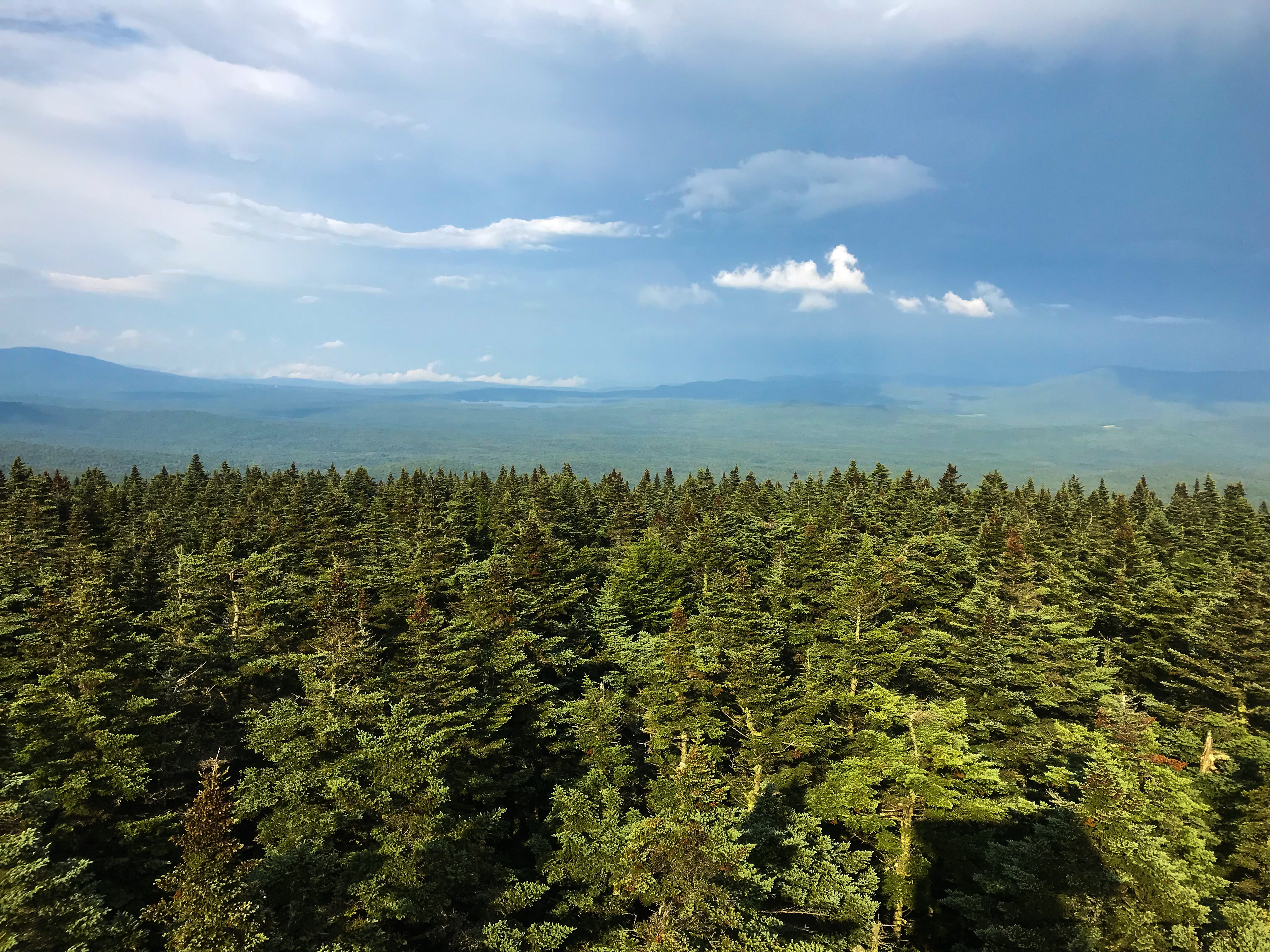
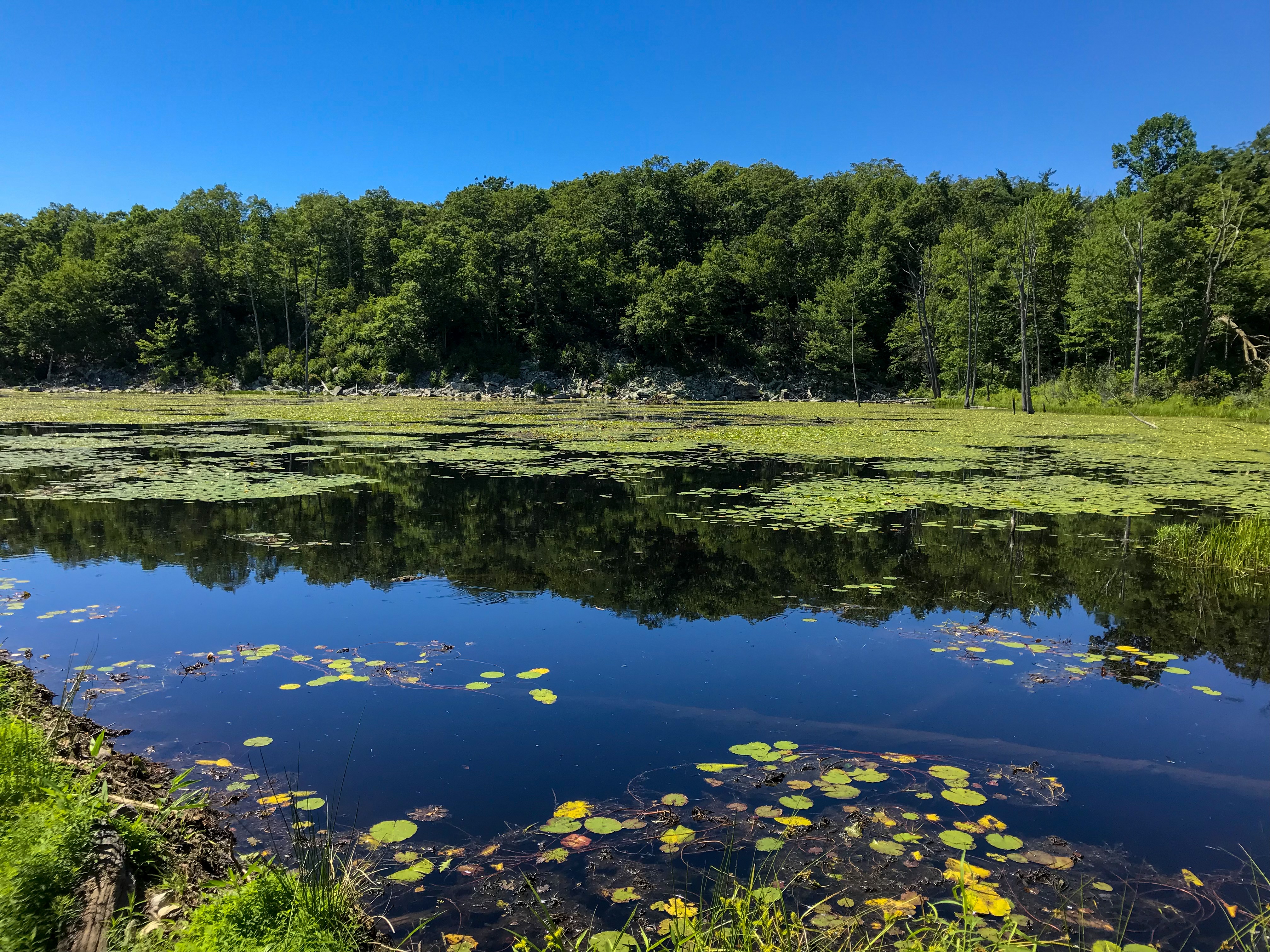
It was already 5pm as we started our hike. There weren’t any mosquitoes or black flies the last days as we were close to the big lakes. There is always a slight breeze around. Different situation in the woods, bogs and small lakes. We hiked about 8 km (5 miles) in as we arrived at the first lake. There are a total of 16 lakes on the whole tour. We stopped at a neat looking camp spot just besides the lake and had some bars. We didn’t feel like already setting up our tents. So we continued our hike. Poor us, we would realize this was the only camp spot directly at a lake, even there were tons of them at the trail. At the next lake, around 12 km (7.5 miles) in we found a spot right in the woods on an abandoned forest road. Finding a spot in the swedish woods isn’t that easy. The ground isn’t level at all and there are roots and rocks just everywhere. After filling up all our water bottles we cooked some food and went straight into our tents. Mosquitoes all over the place! We listened to a famous german travel podcast and felt asleep.
Day 2
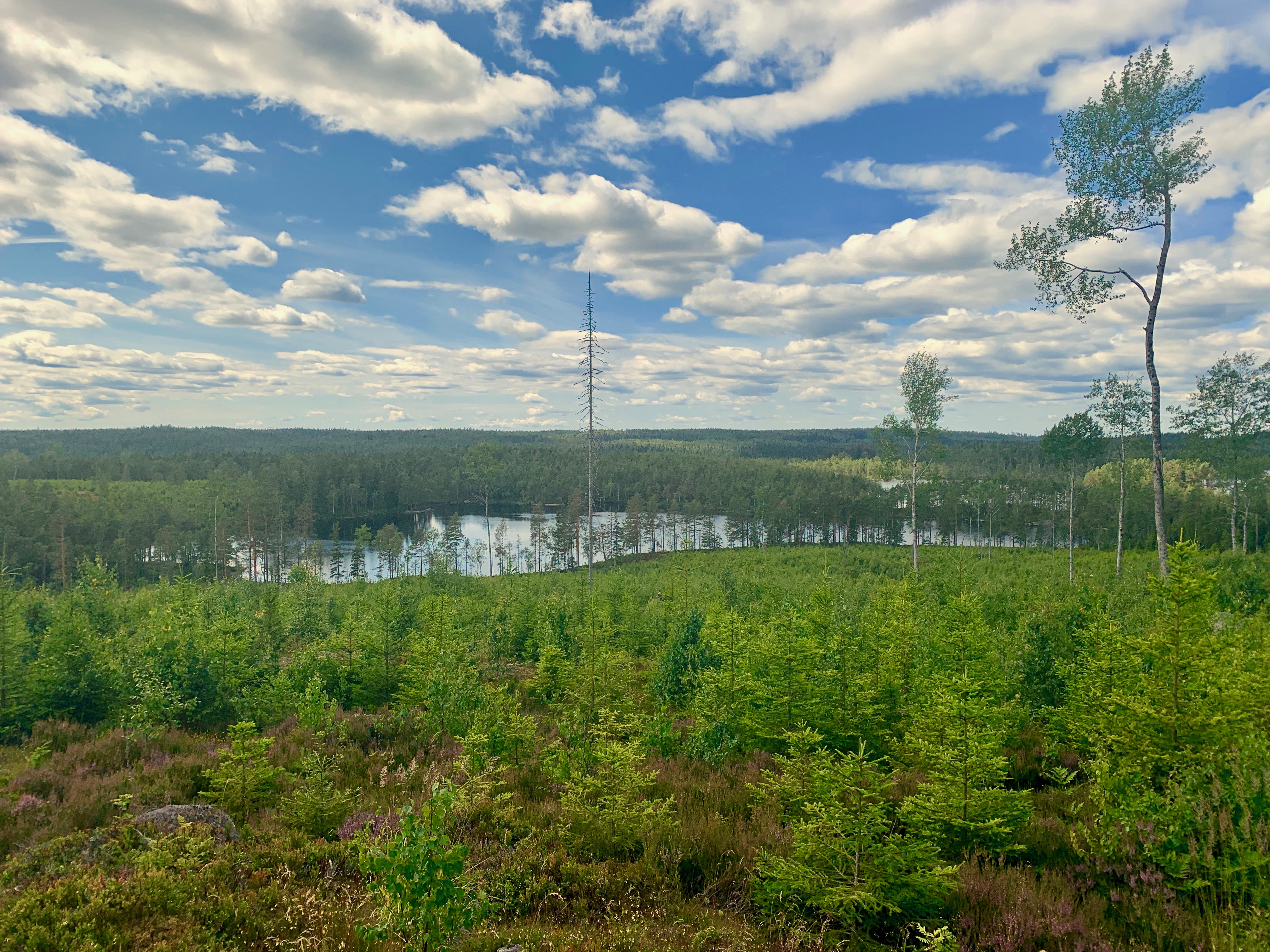
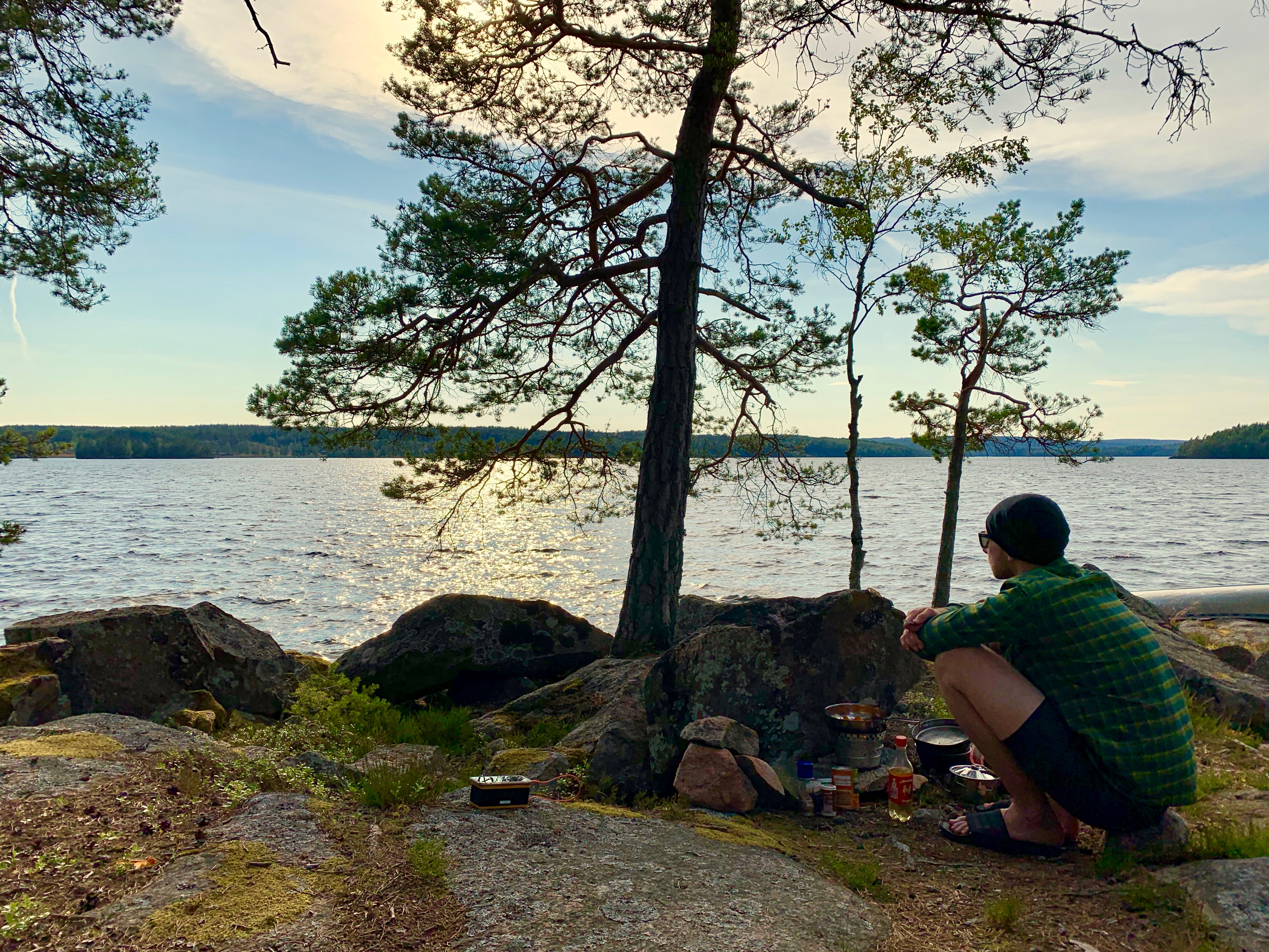
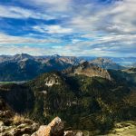
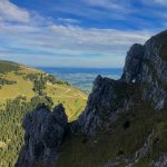
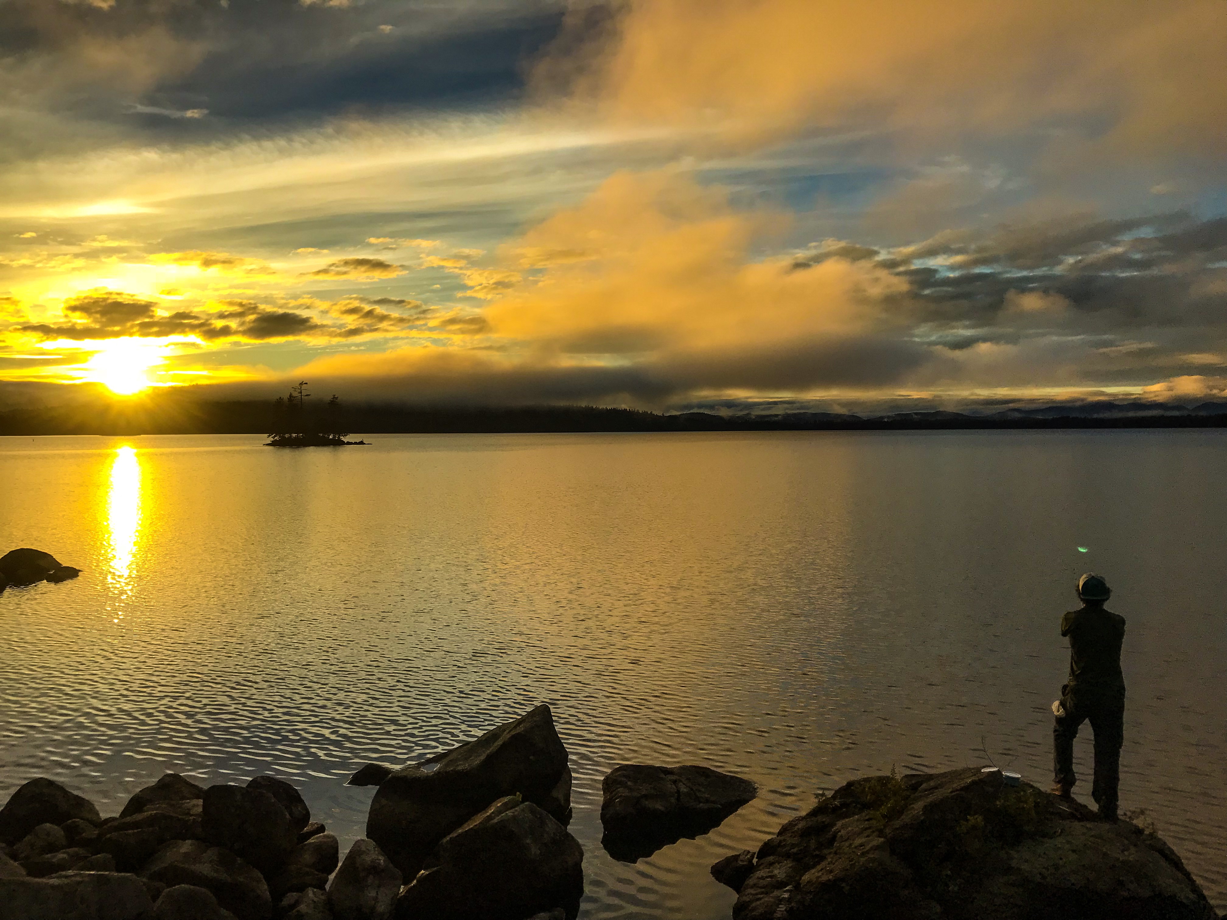
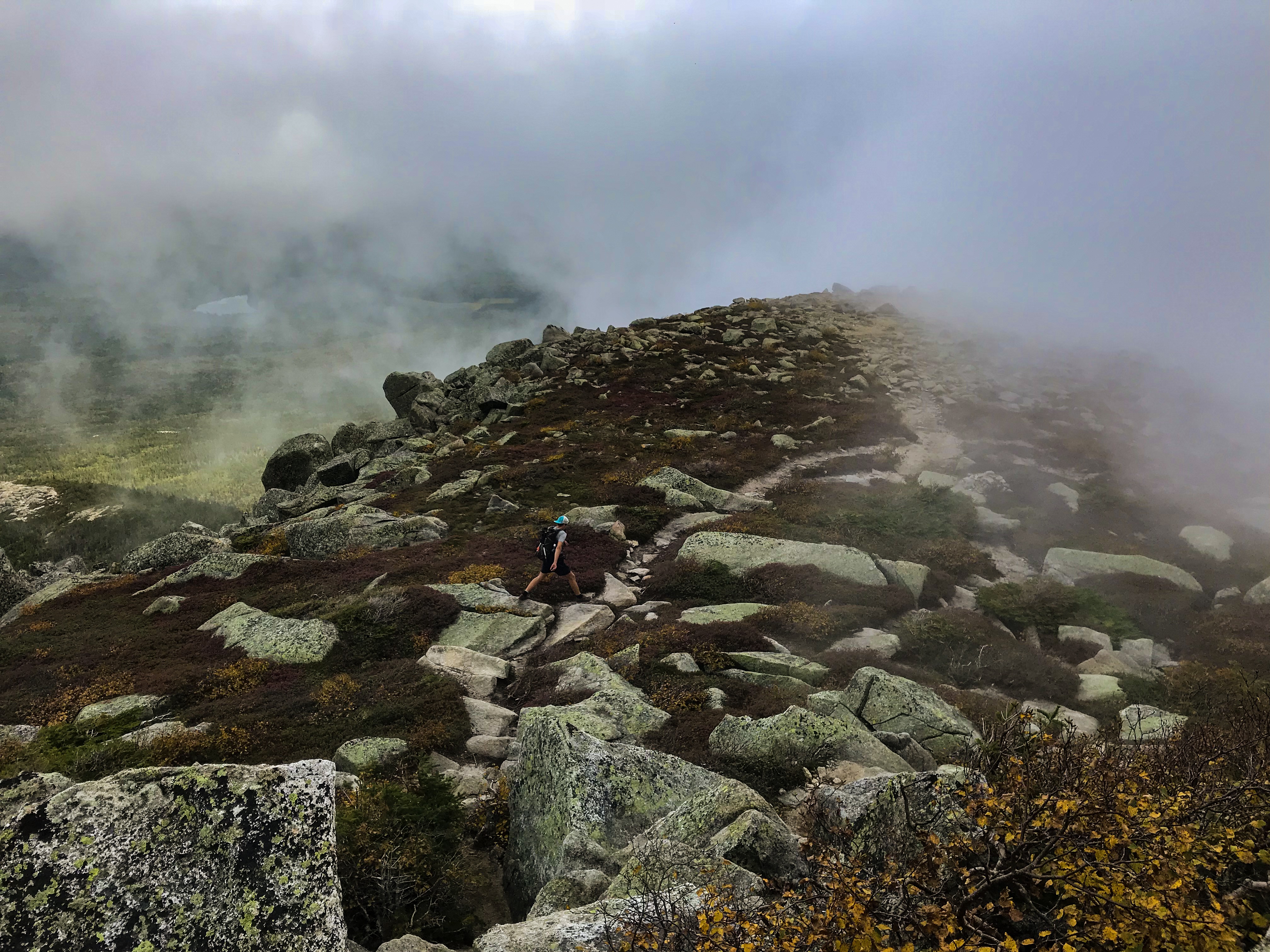
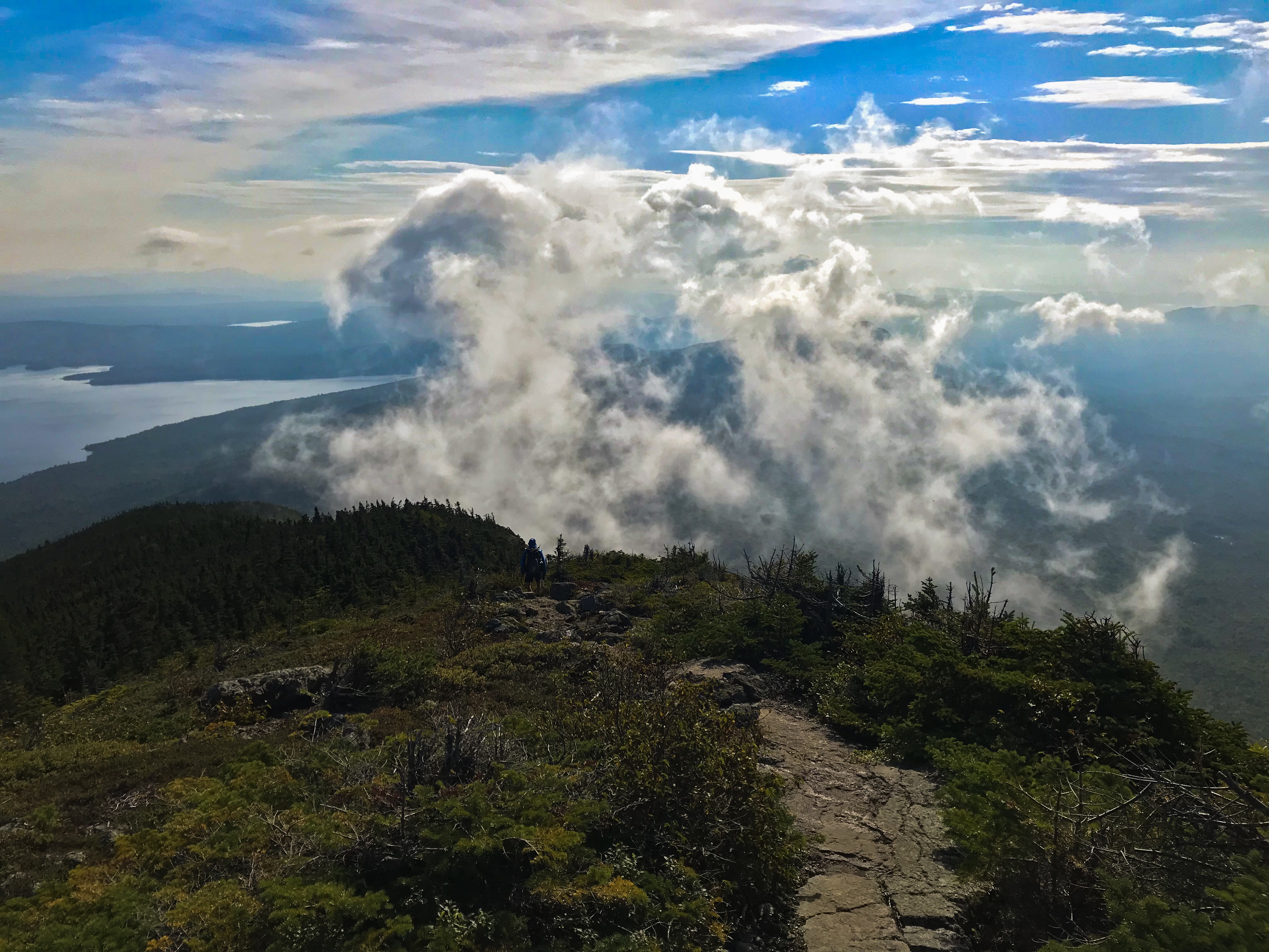
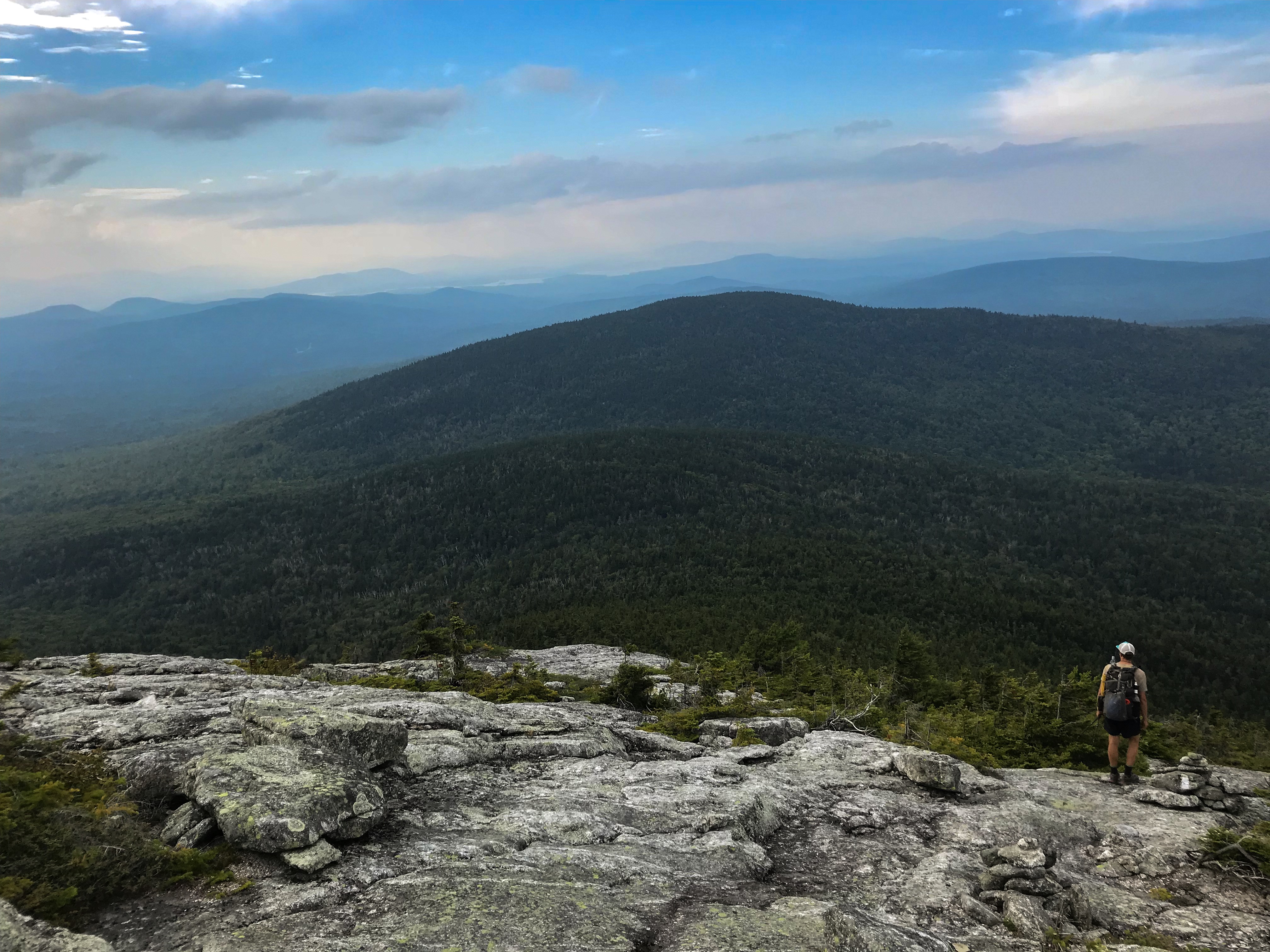
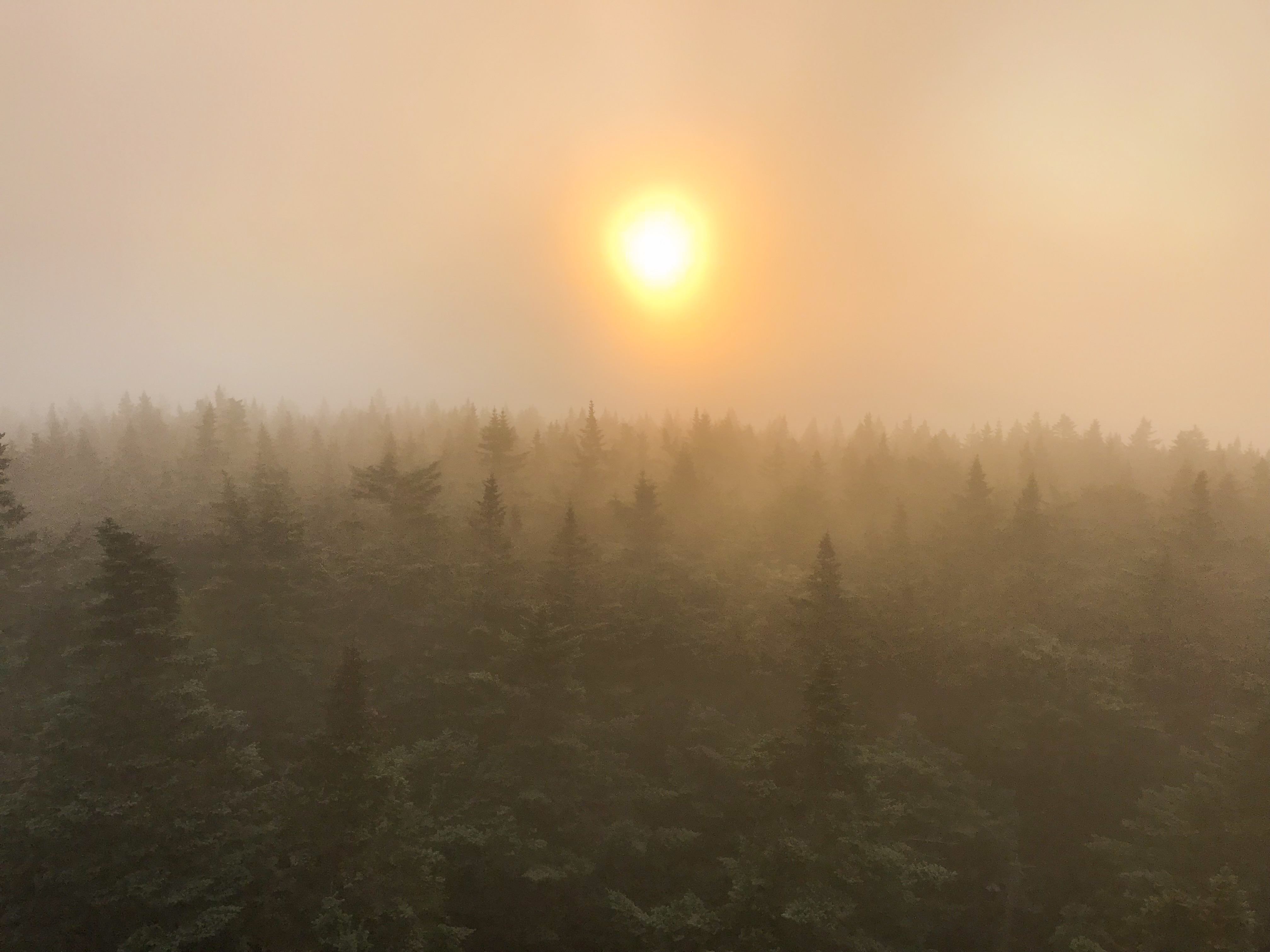
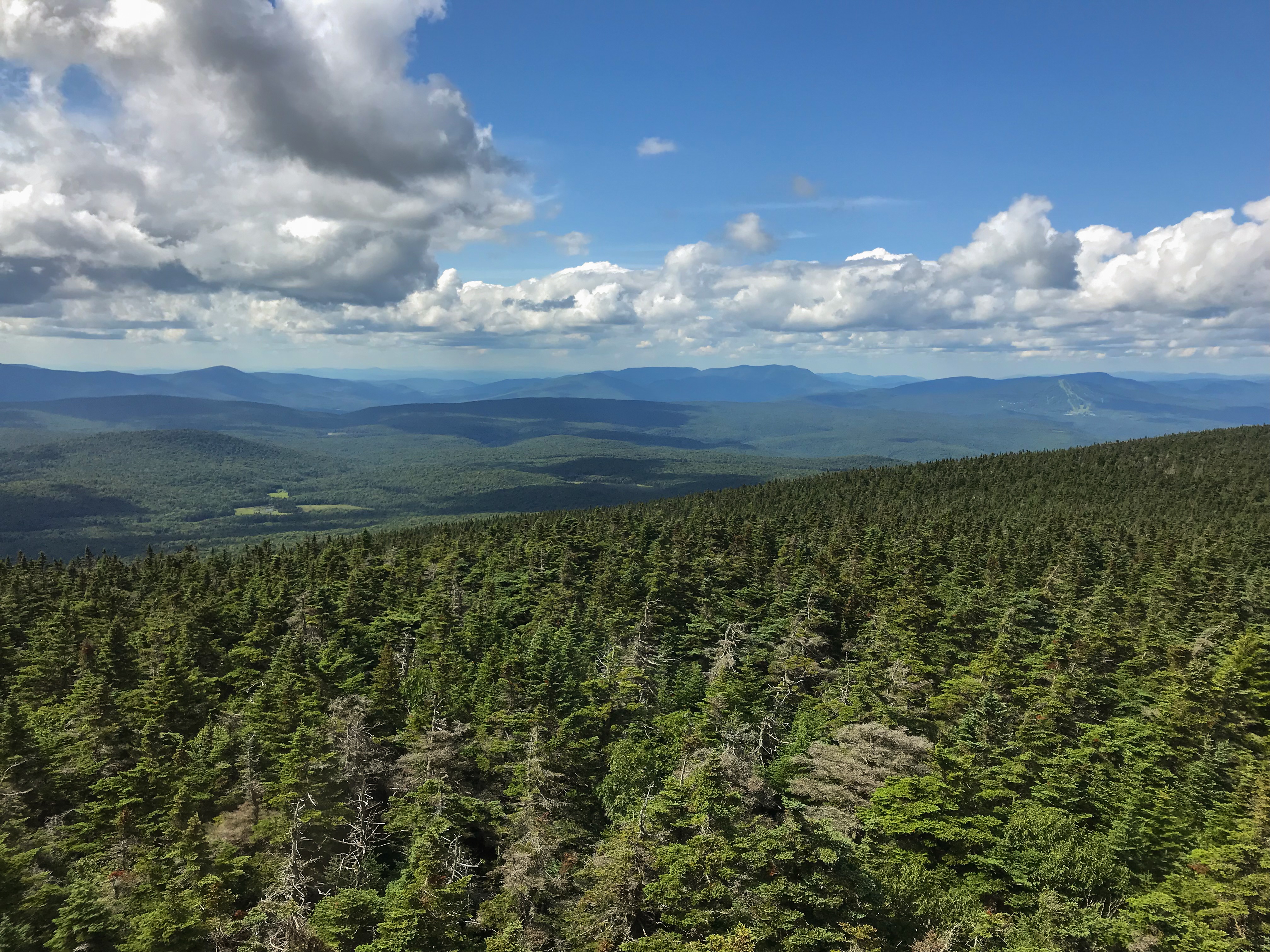
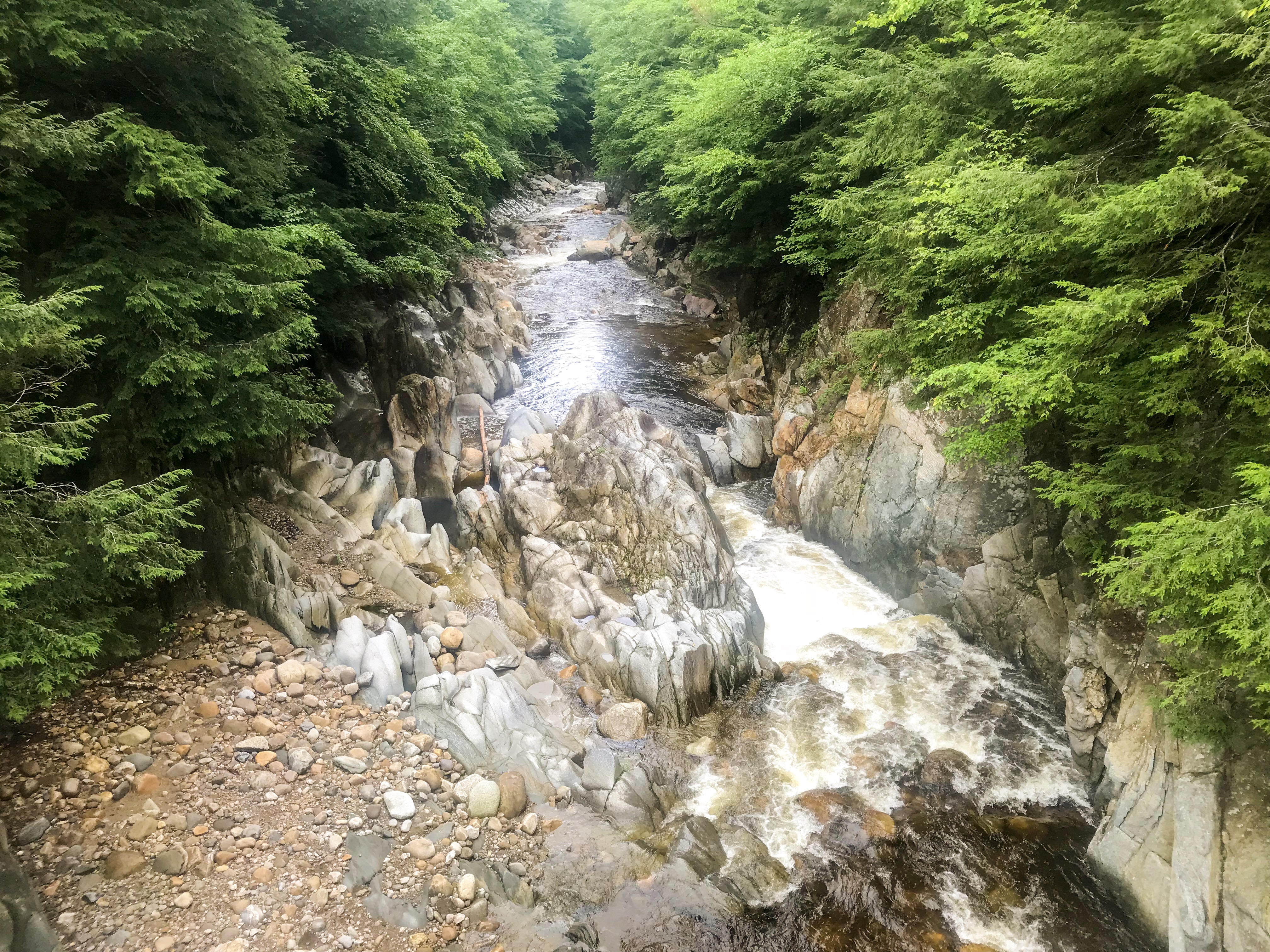
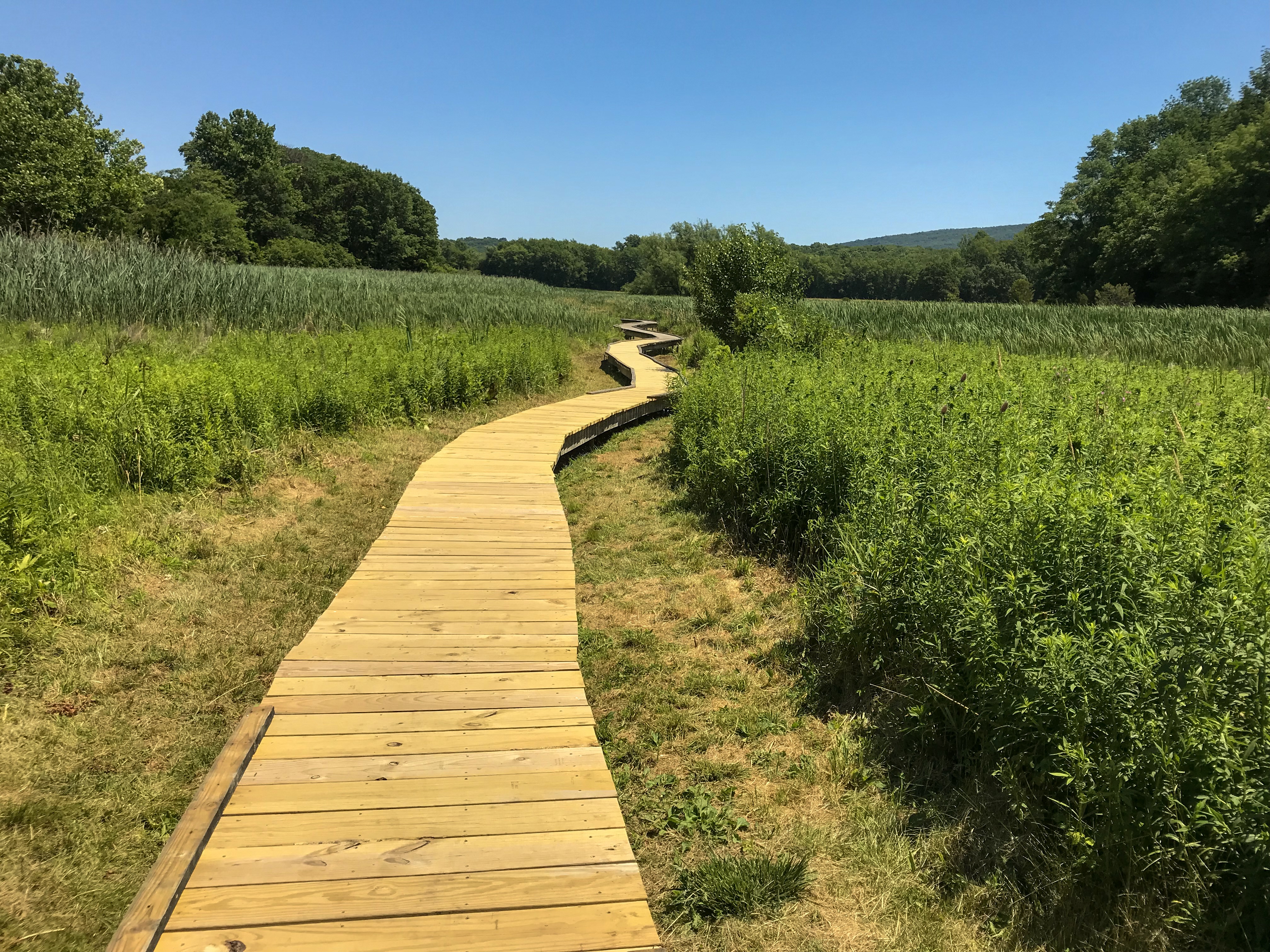
The next morning was a calm one. There was no noise to hear at all. Lovely! We knew this day would be a long and harsh one. The weather forecast predicted sunshine all the day with very warm temperatures and no wind at all. At least no rain though 😉 The trail itself doesn’t have a lot of elevation. But the trail is mostly overgrown with bushes which slows down your speed a lot. After breakfast we packed our camp and started hiking again. Even though we had a lot of miles to hike this day we somehow weren’t in a hurry at all. We just enjoyed the different landscapes. The woods with the super green moss everywhere, lovely calm little lakes and of course the bogs. We had to fill up our water at a lake which was surrounded by a bog. It’s not that easy to keep your feet dry. You could sink in literally with every step you take. On top of that we were attacked by thousands of mosquitoes. This wasn’t fun at all! Getting water this day was crucial. Because of the hot temperatures we had to plan our water stops precisely.
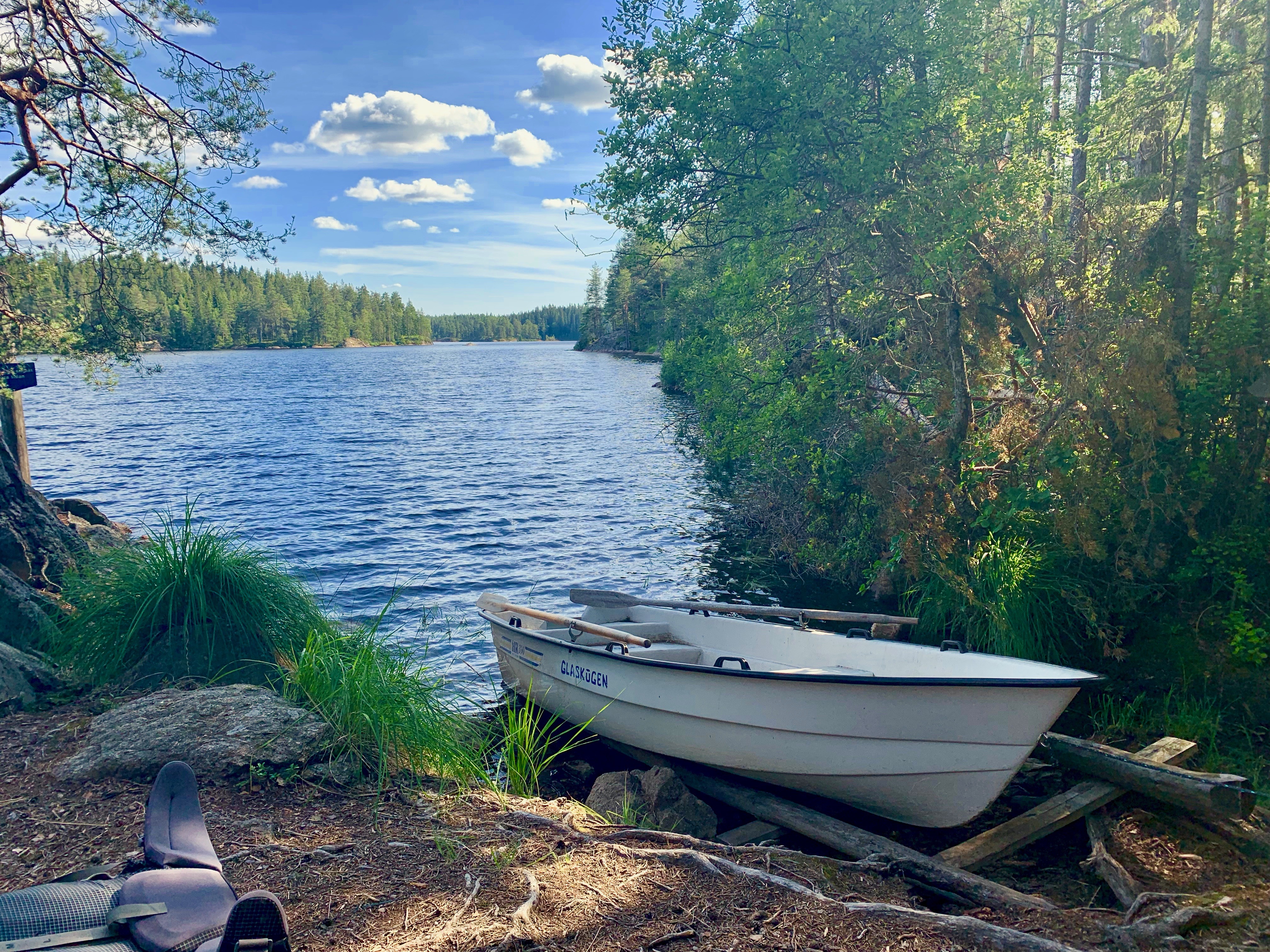
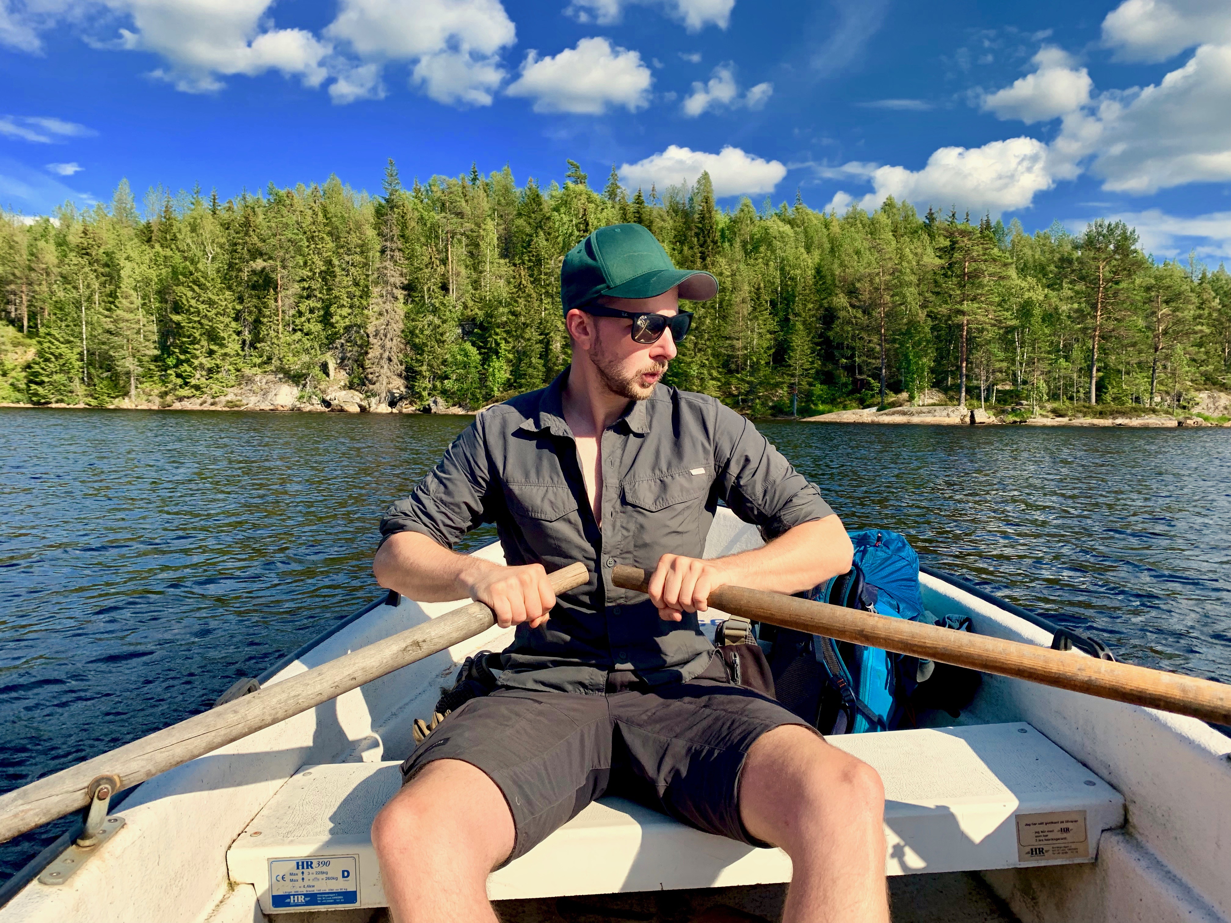
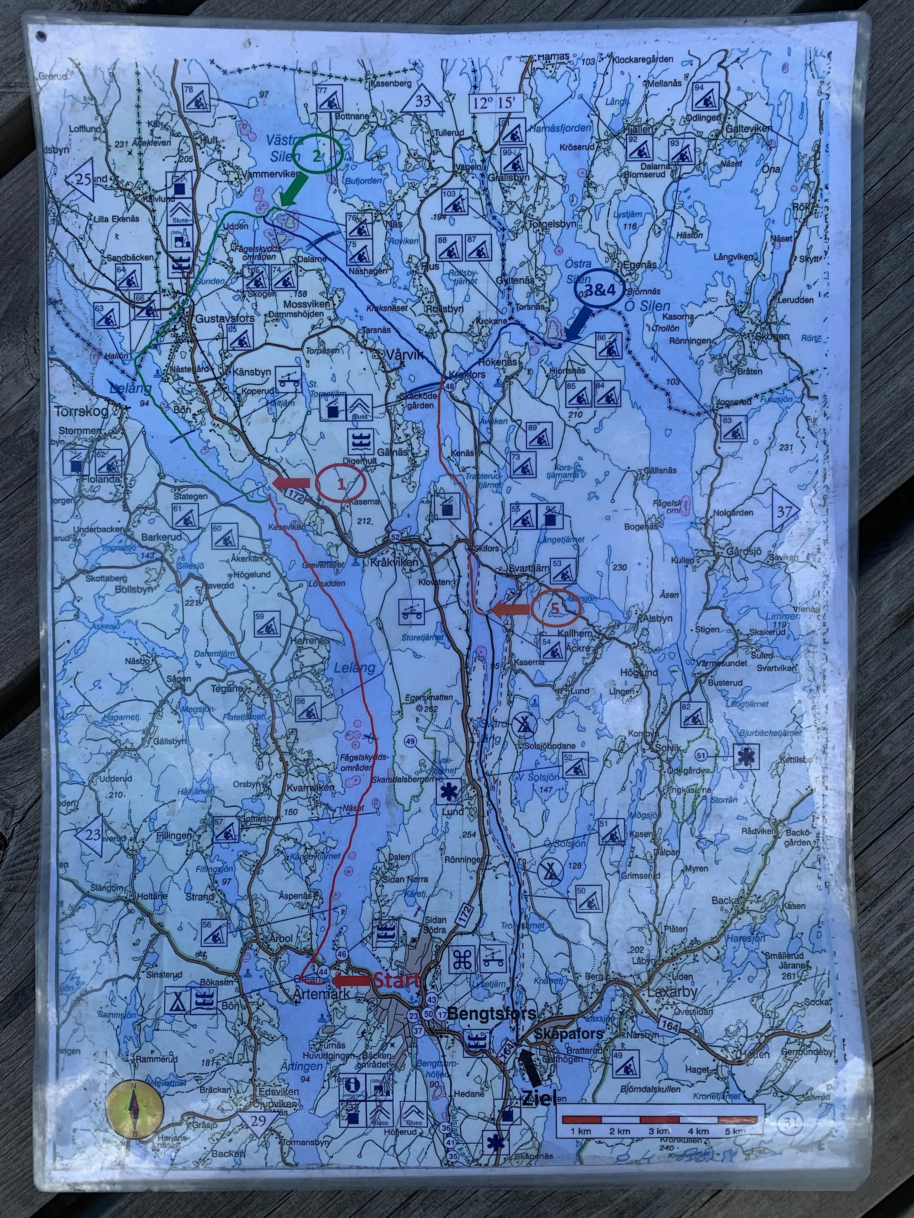
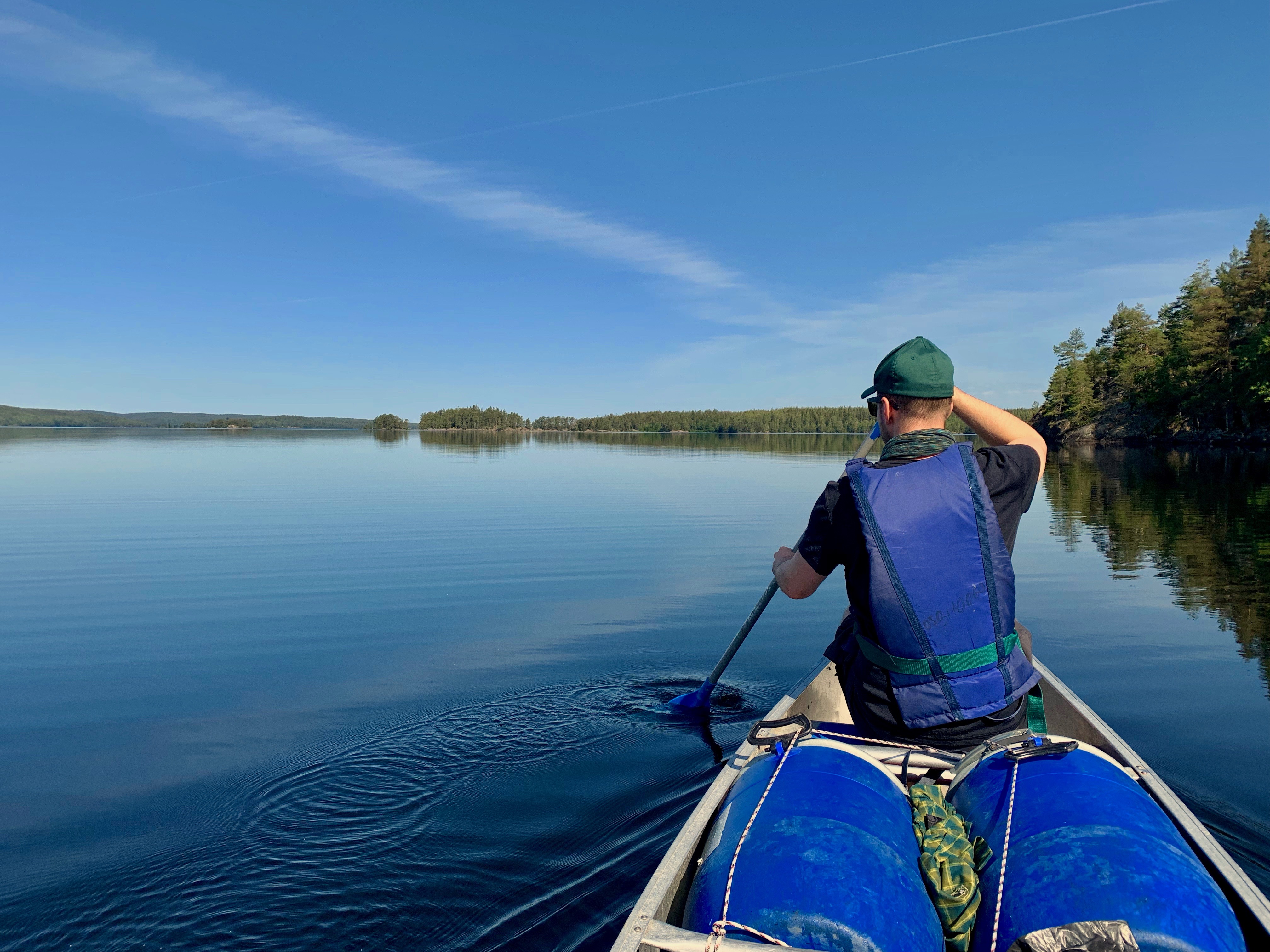
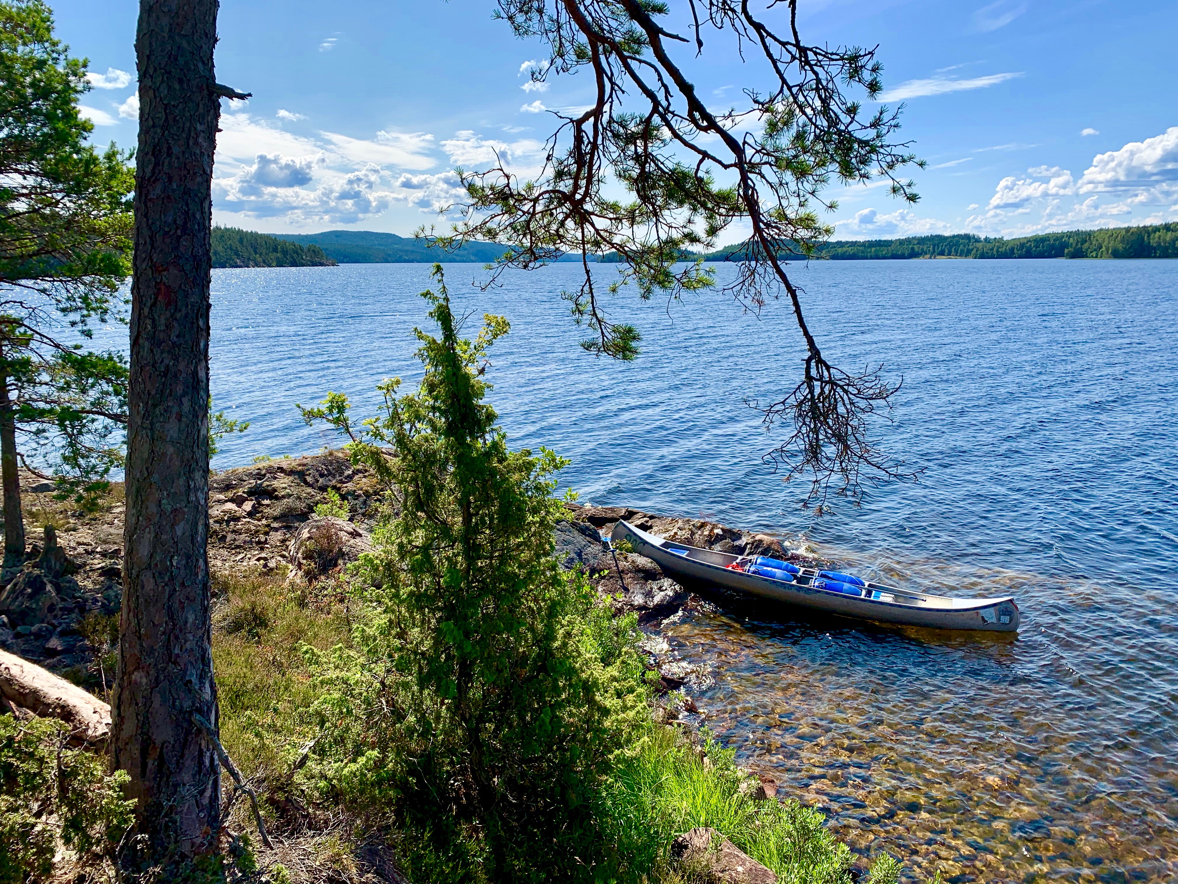
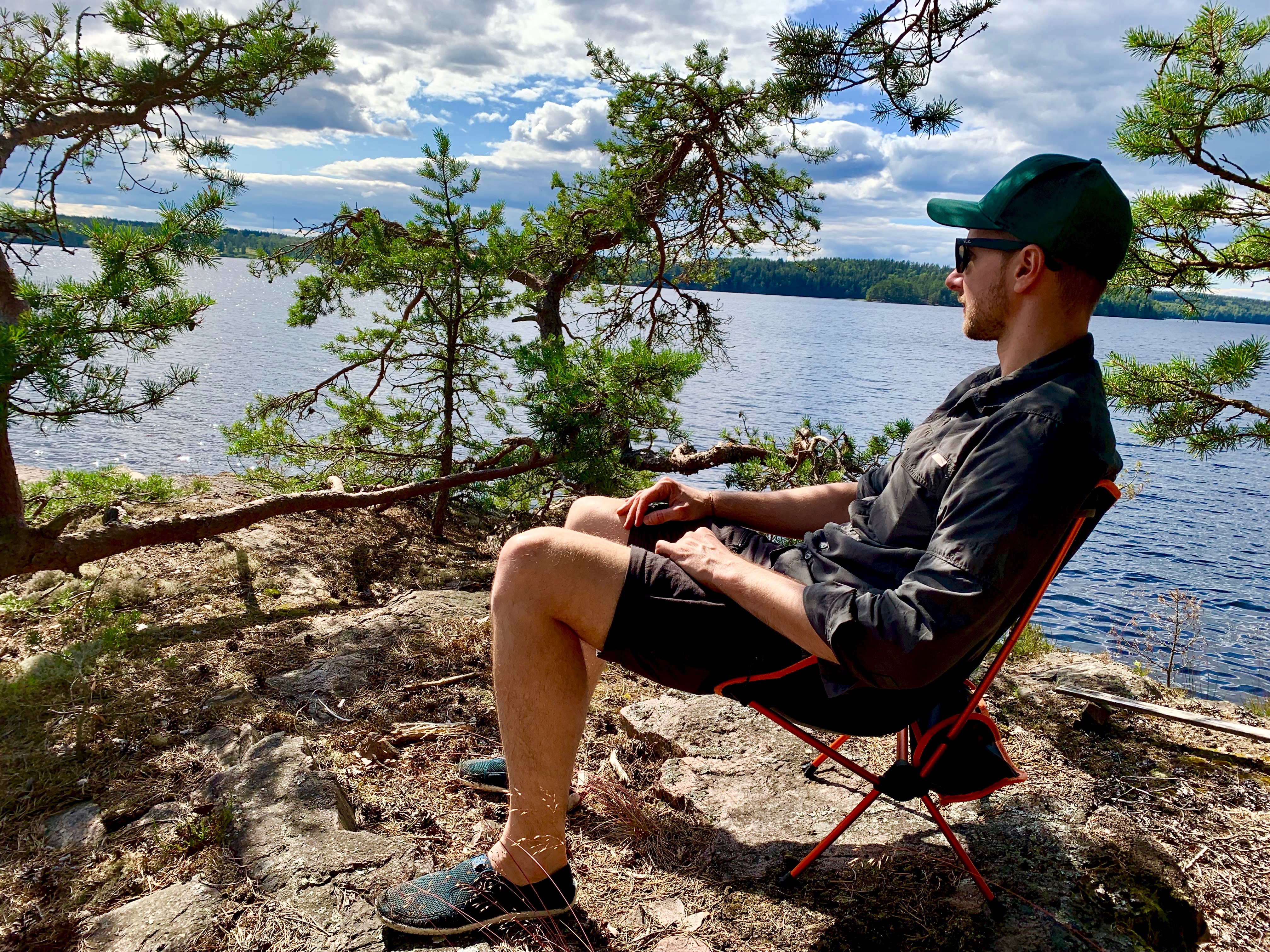
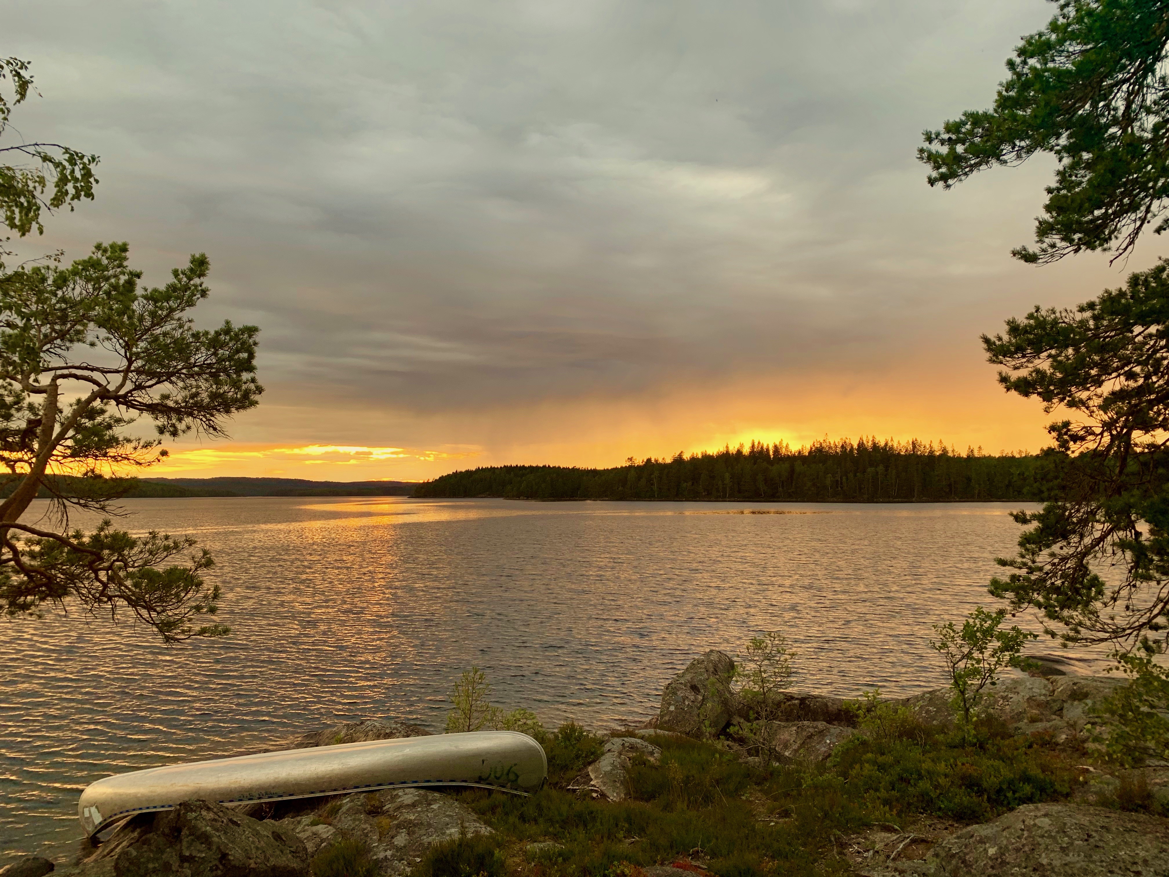
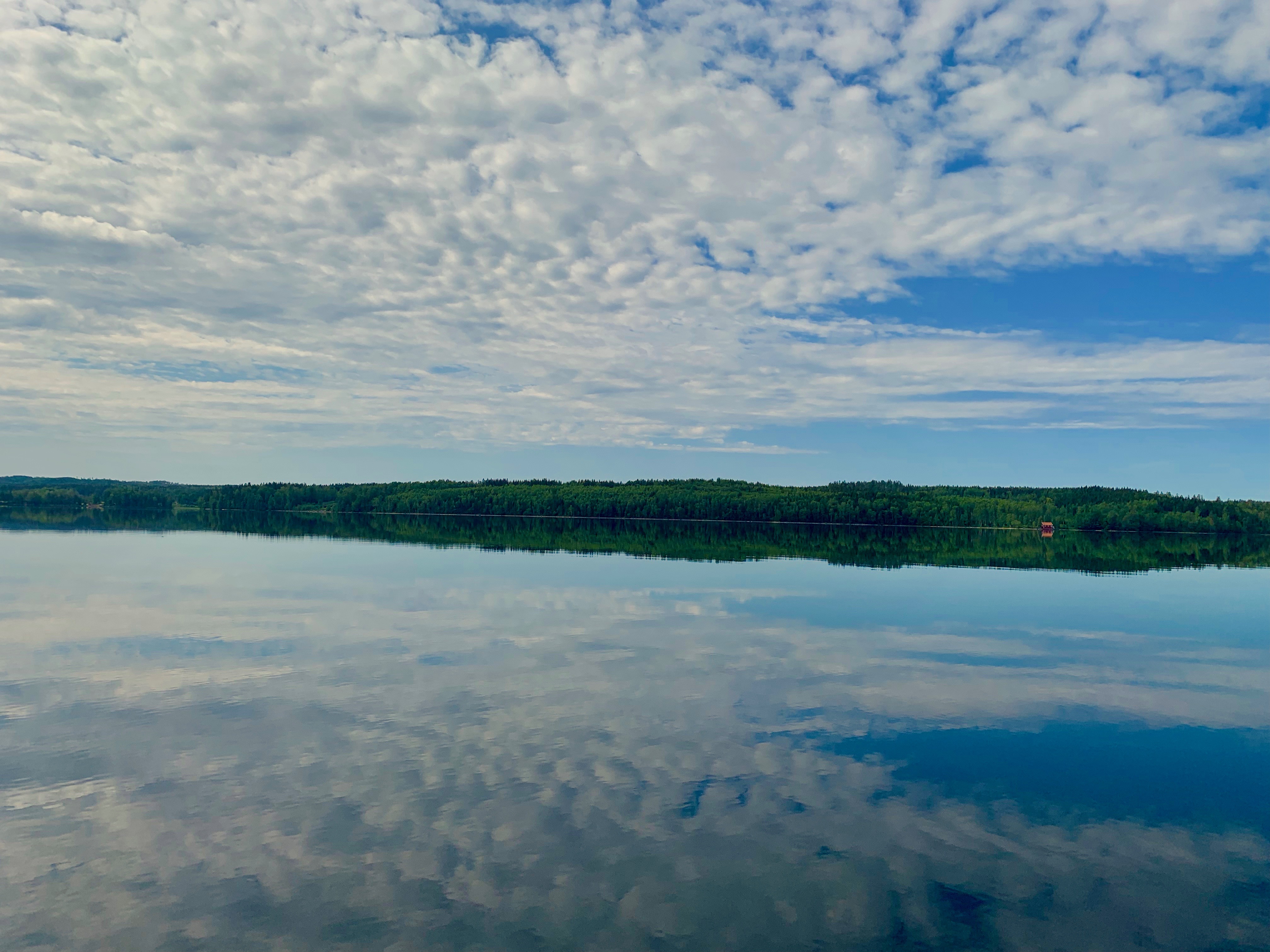
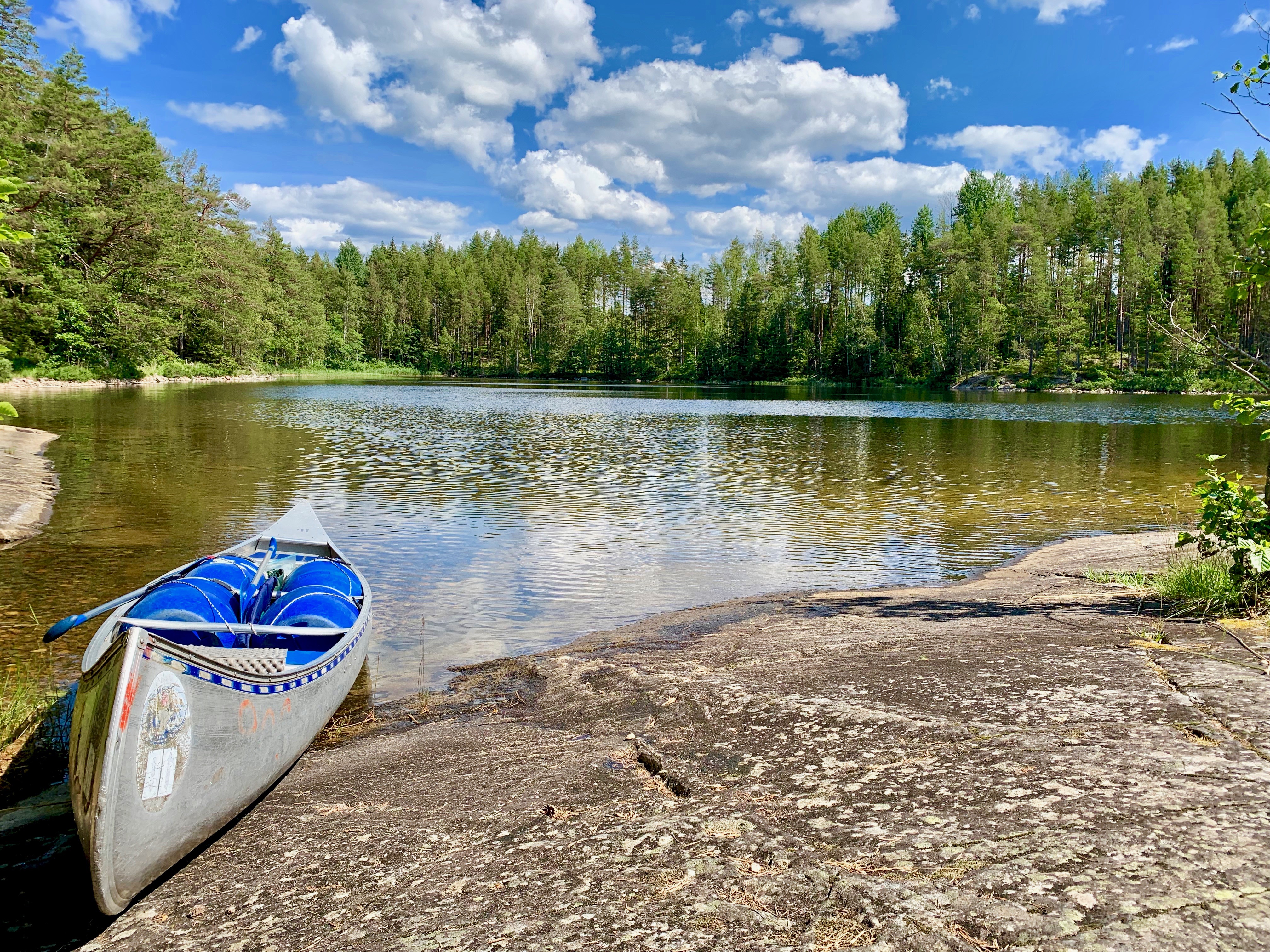
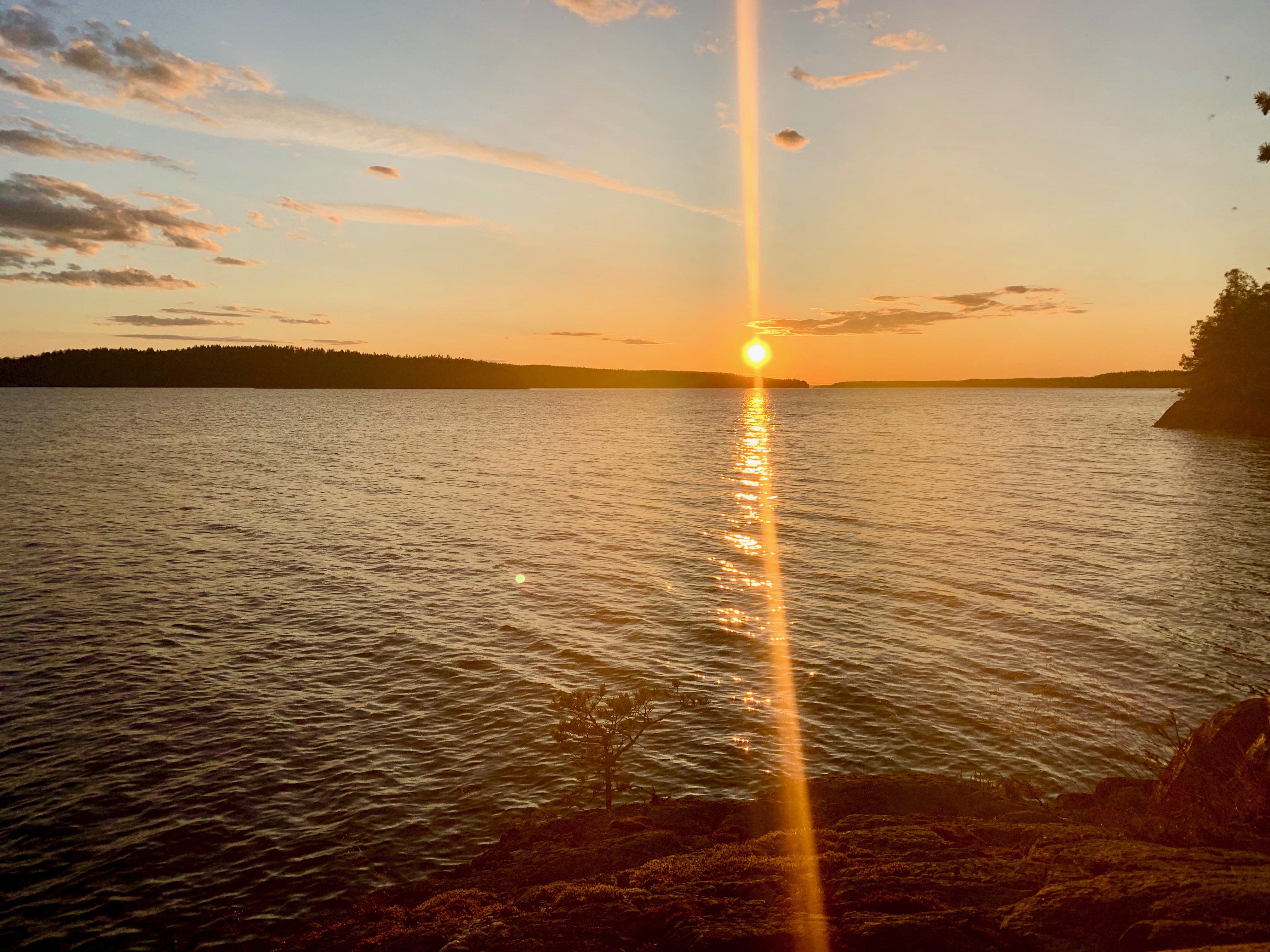
At our lunch break I took a look on the map. The trail should cross a lake. Little did we know it shouldn’t be a bridge. Crossing a lake in Sweden is an adventure! 🙂 There was one rowing boat on each side. We took the one on our side and paddled over to the other side. Always leave on boat on each side! So, we paddled back with two boats. As there was nobody around at all waiting for a boat we took a break in the middle of the lake and just enjoyed the beautiful weather. A well earned break!
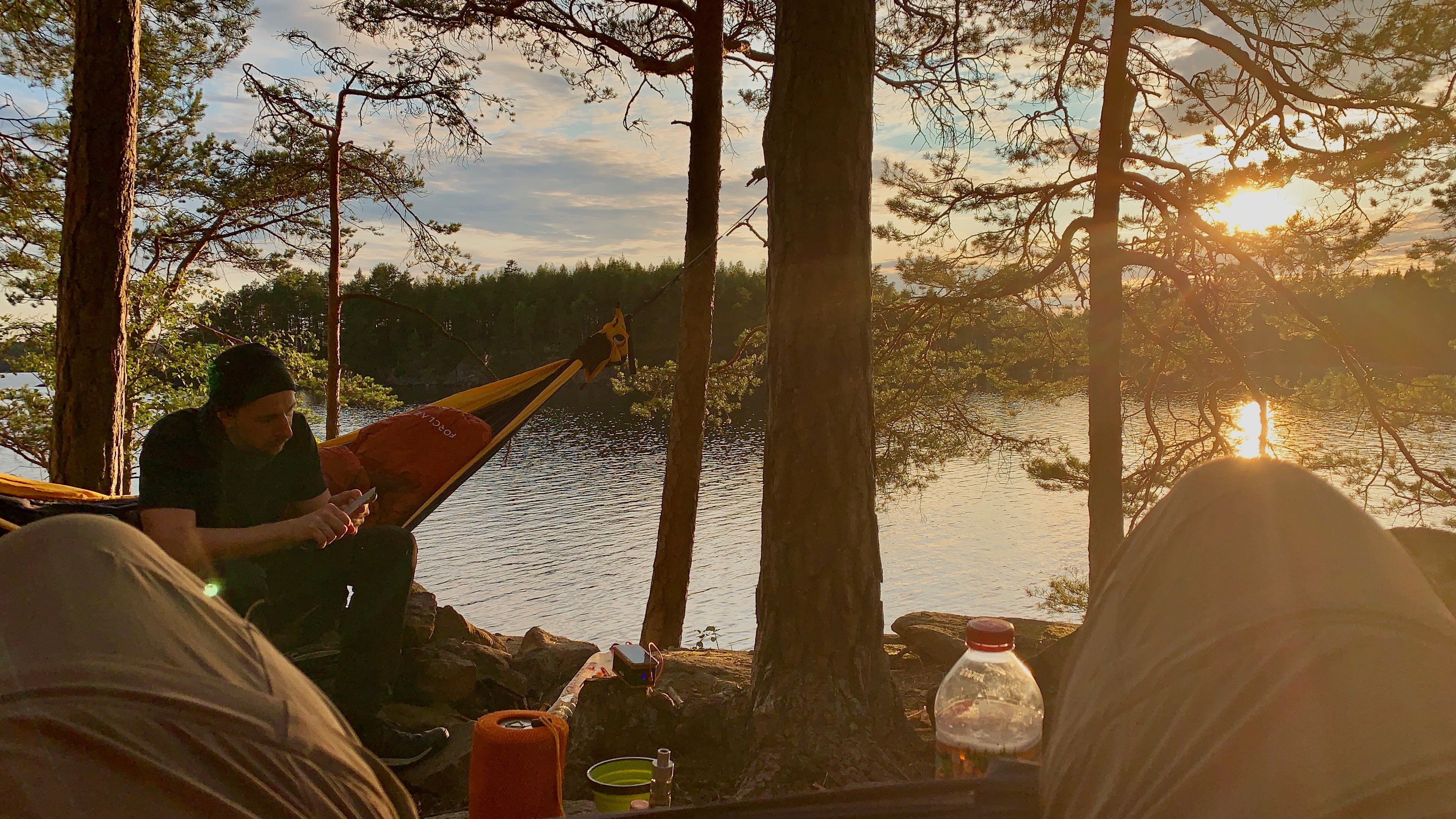
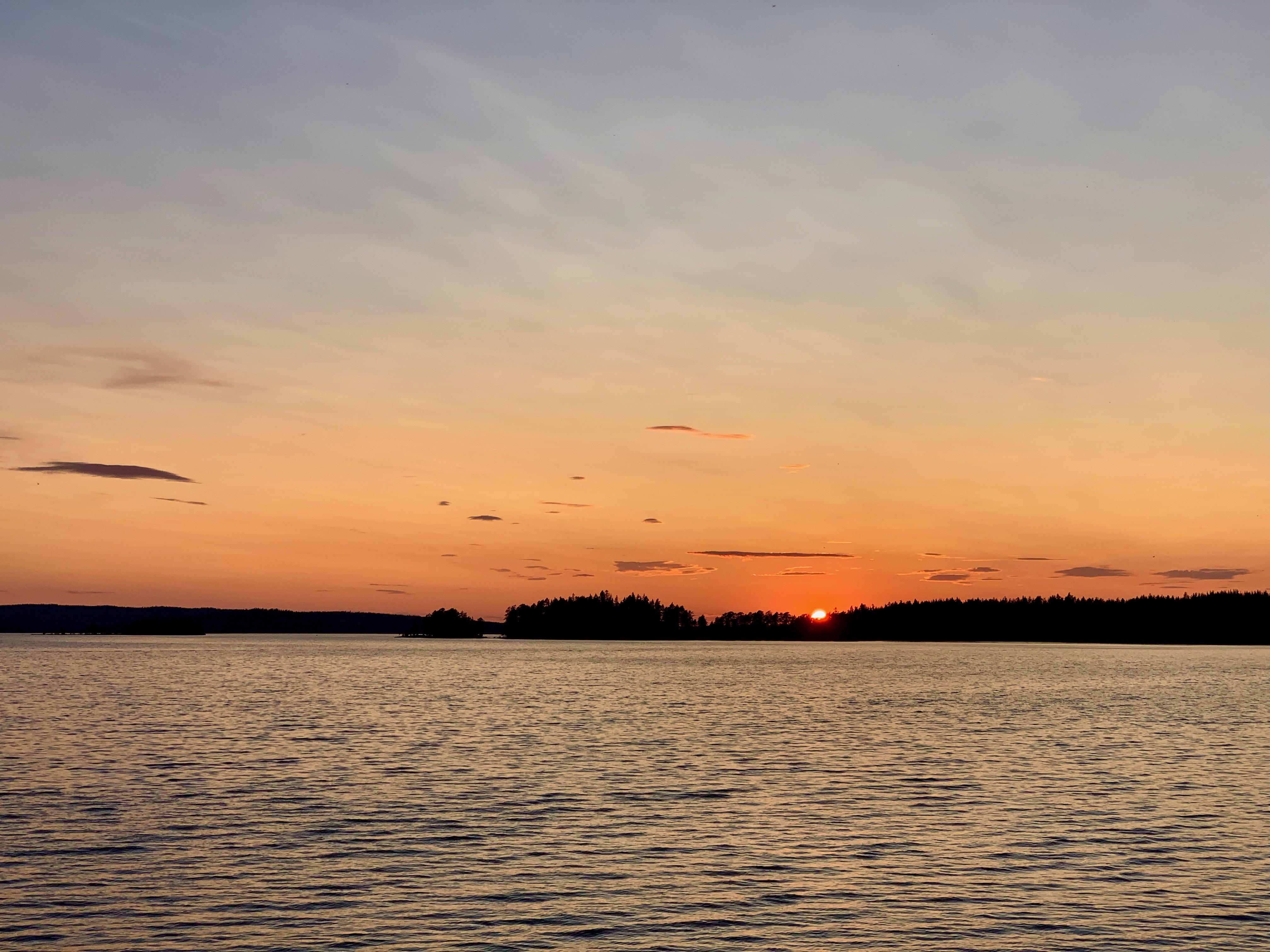
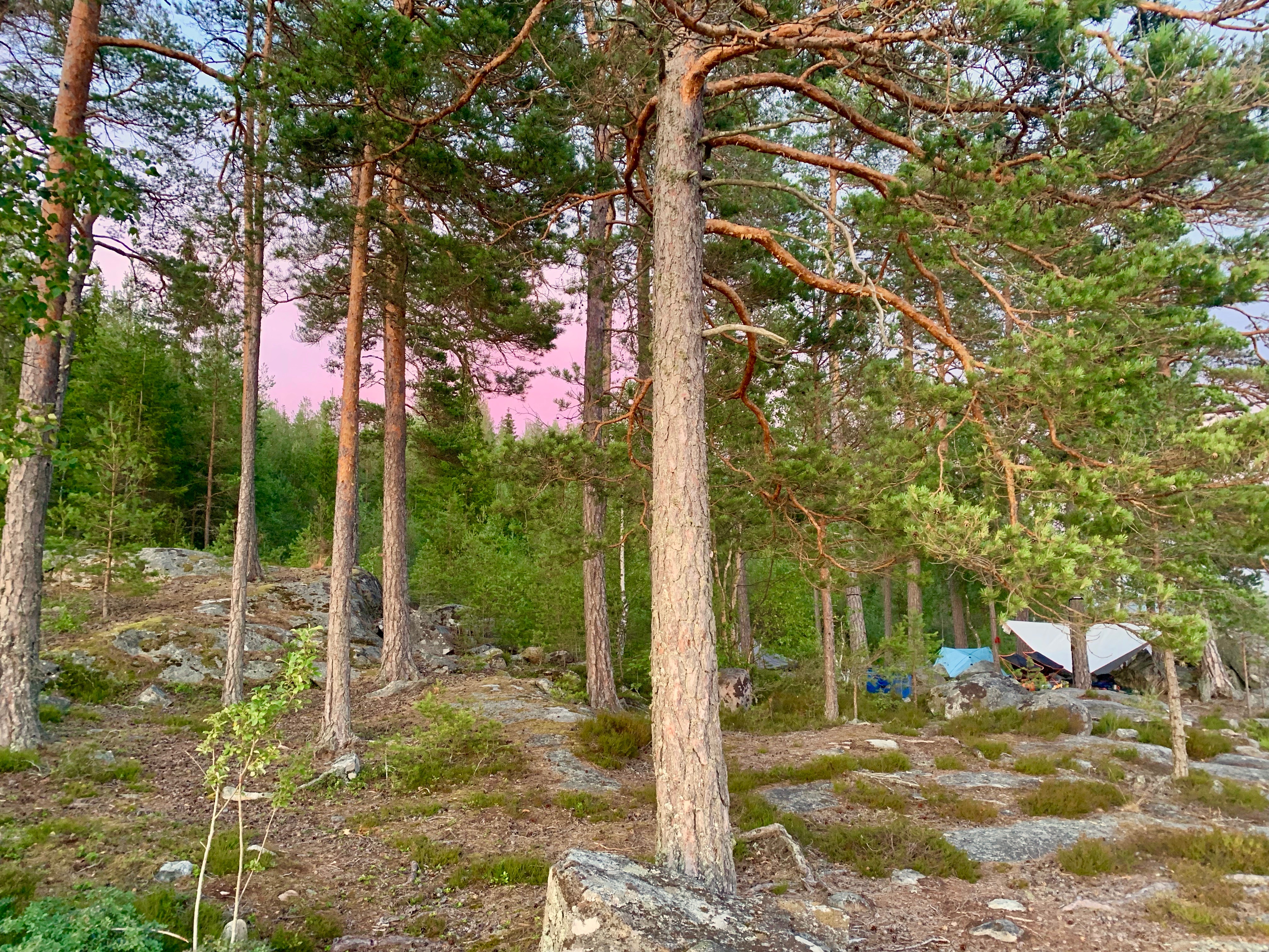
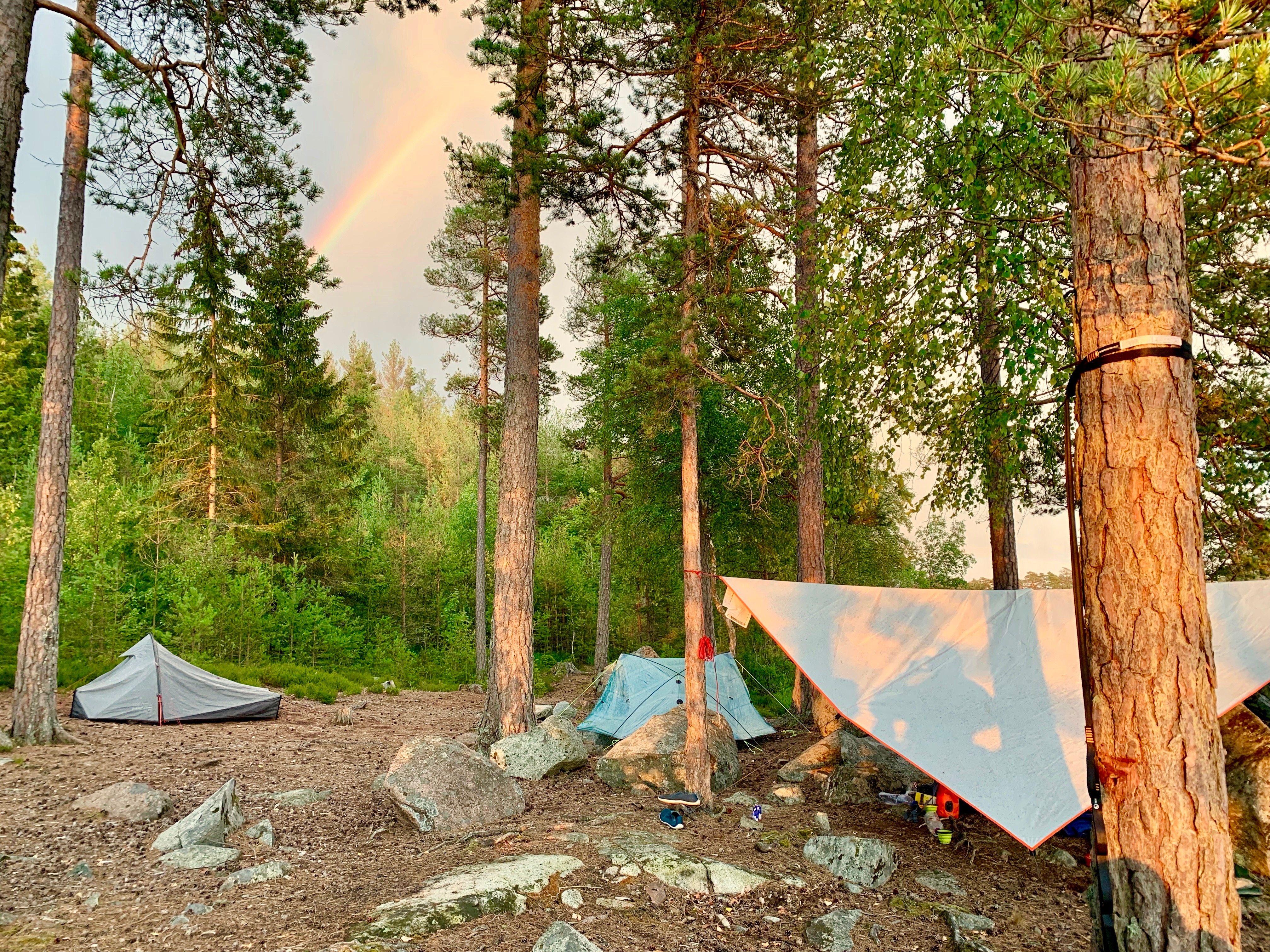
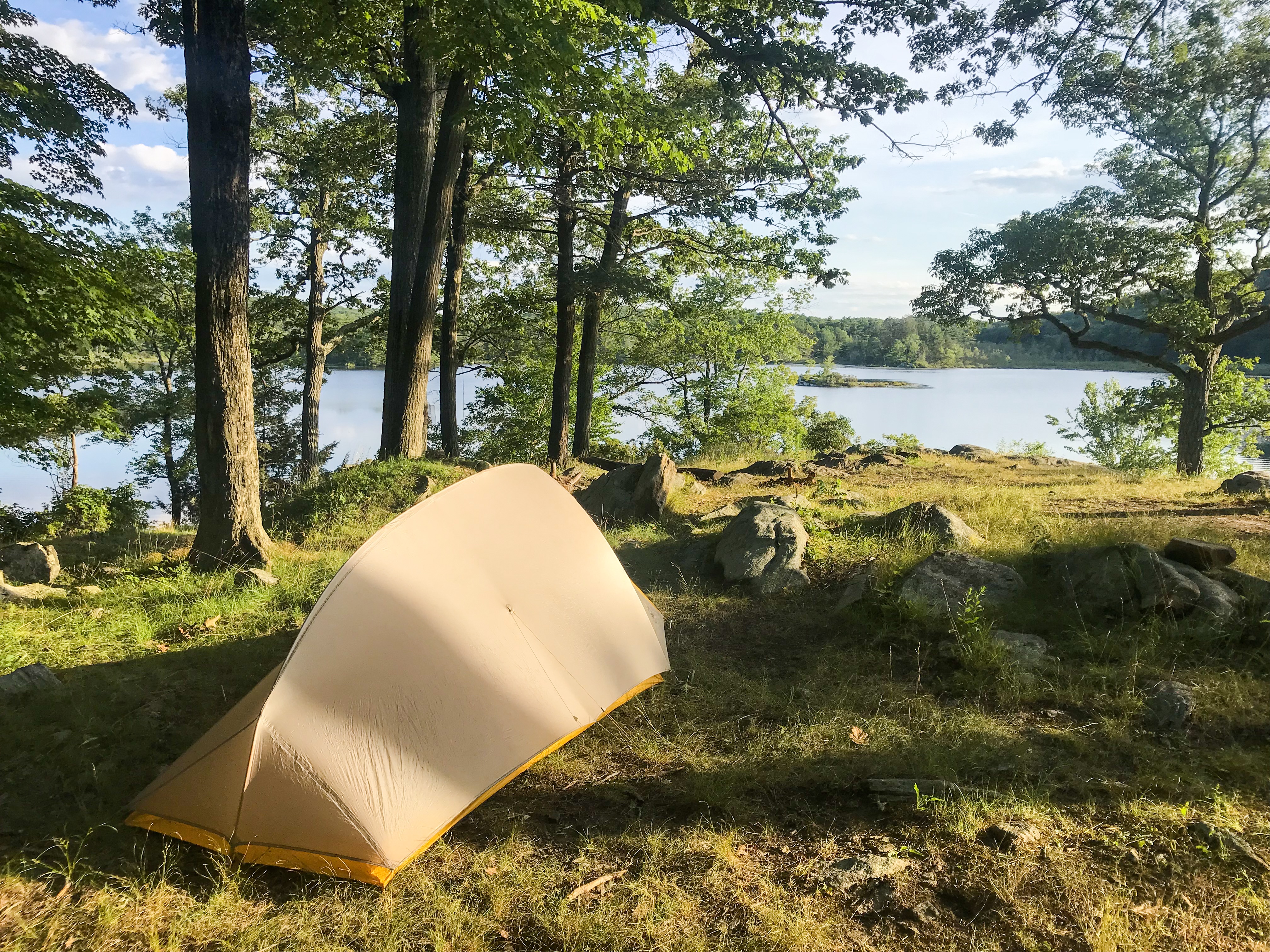
At the evening we spotted a shelter with lots of tenting space close to another big lake. Guess what? There were a lot of people there! No hikers though. They all came in their canoes. We haven’t met a single person and than we found a crowded shelter?! We decided not to stay there and did another loop around the lake on an abandoned forest road. The road itself had some perfect camp spots with lots of flat terrain. Because we did way over 20 km (12.4 miles) this day we were pretty tired and had a good night sleep.
Day 3
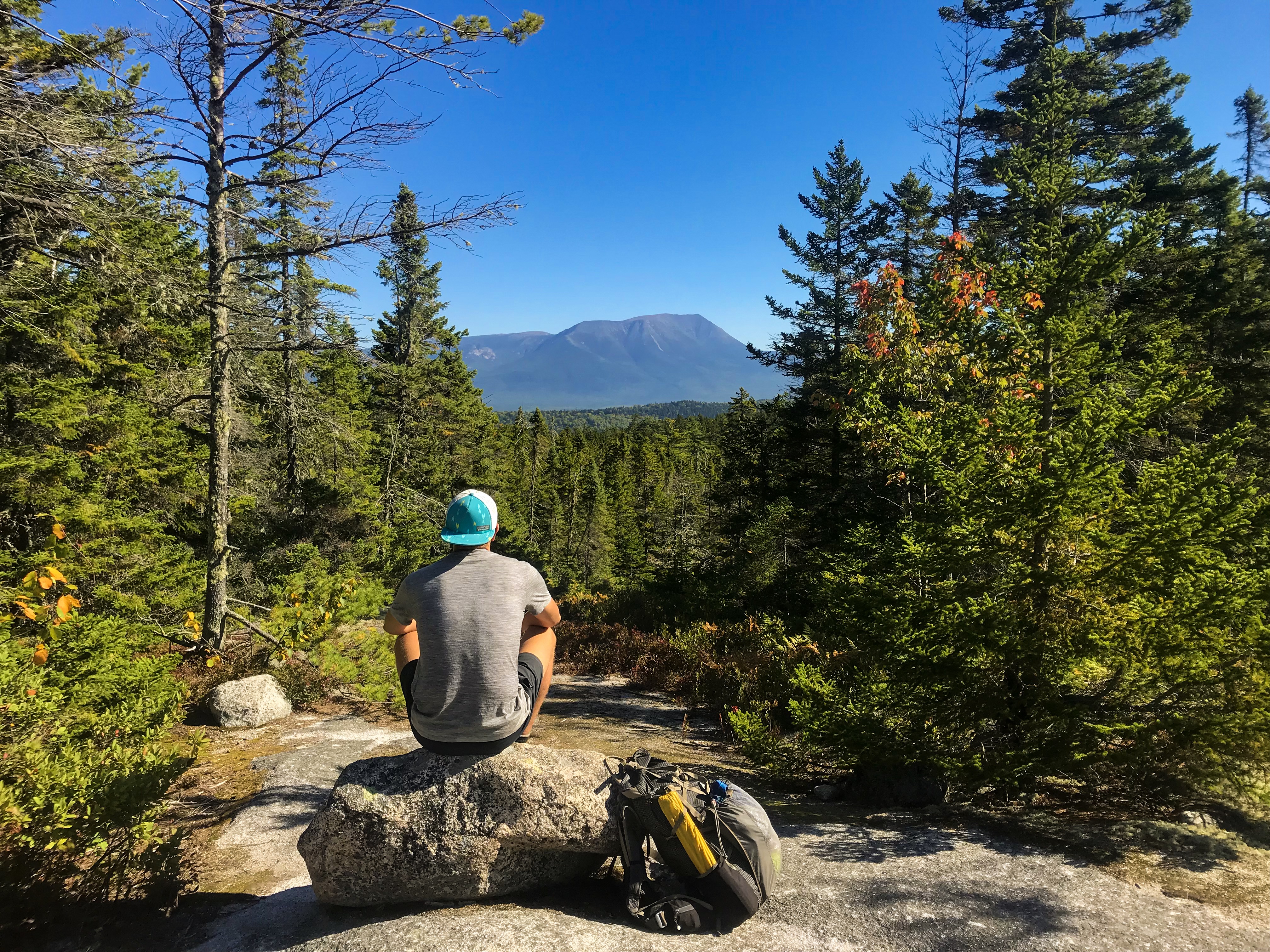
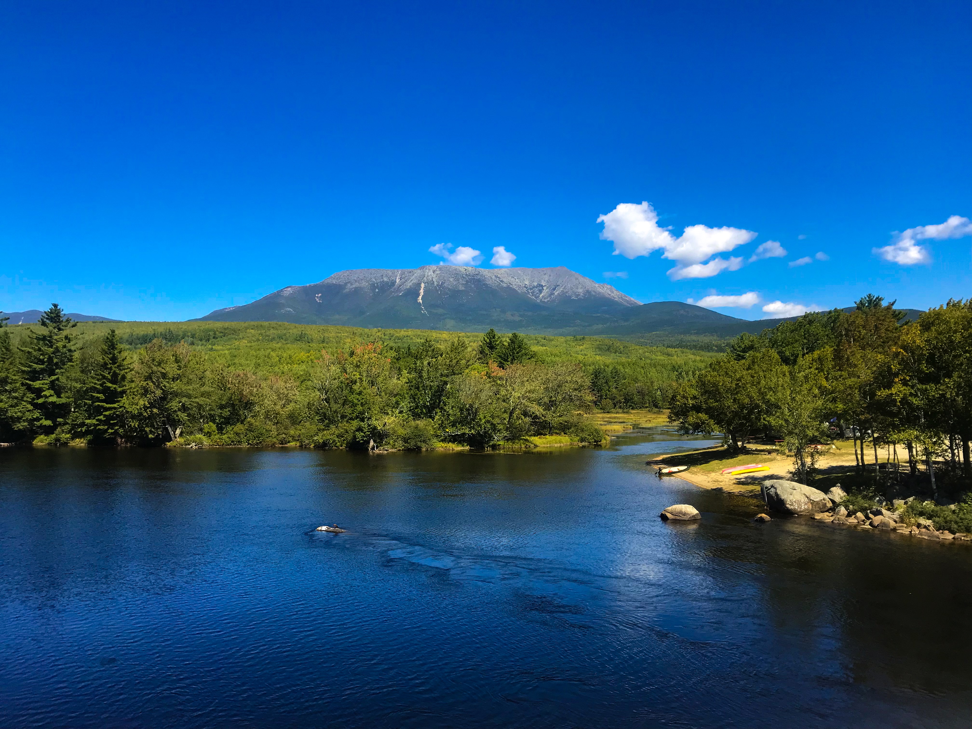
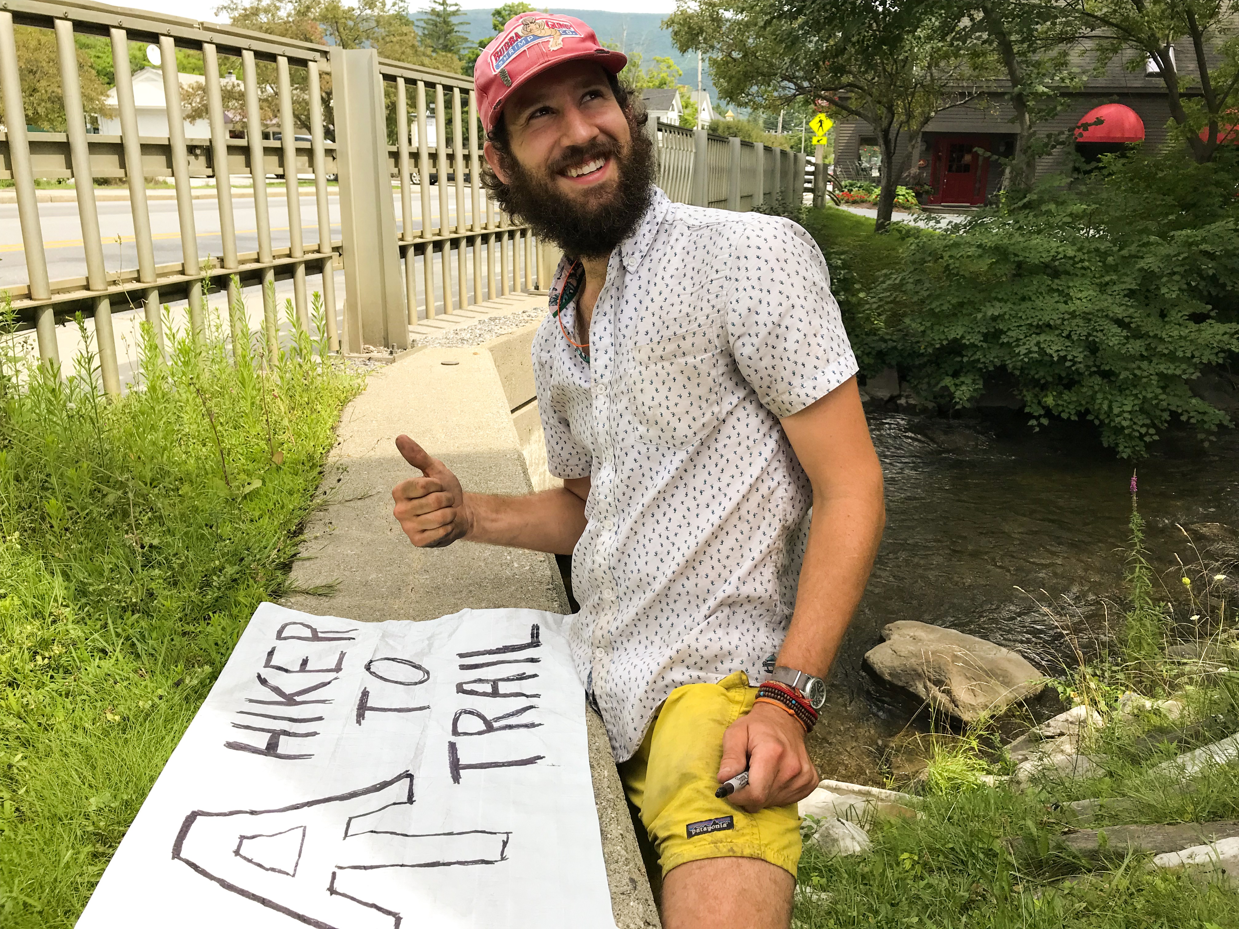
This should be the last day on our Sweden trip. Nothing fancy this day. Besides we met the first person on trail! We just enjoyed the last steps and headed back to the campsite where our car was parked. As soon as we saw the “standard tourist hikers” we knew we must be close 😉 After a well needed shower we packed the car and drove back to Germany.